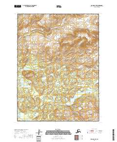
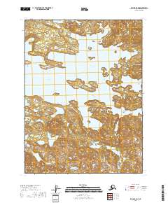
2018 Map of Iliamna C-4 SW
USGS Topo · Published 2018About this map
Pope-Vannoy Landing serves as a singular point of human activity within this remote Alaskan landscape, situated where the high country of the Aleutian Range meets the intricate drainage systems of the interior. The terrain is defined by the winding course of the Copper River and the isolated waters of Fog Lake, reflecting the hydrological complexity of the Lake and Peninsula Borough. This 2018 survey captures the intersection of mountainous slopes and marshy lowlands, where small tributaries like Tommy Cr carve through the wilderness. The map provides a clear view of the township and range divisions, such as t7s r30w, illustrating the modern cadastral framework imposed on a largely untouched natural environment.
Find a feature on this map
11 named features on this map. Tap any name to fly to it.
Don’t see what you’re looking for? This feature index may not catch every label — zoom into the map to look around manually.
Map Details
Editions of this 2018 Iliamna C-4 SW Map
This is the sole edition of this map. No revisions or reprints were ever made.
Other maps of this area

1951 · Iliamna B-5
USGS Topo · 1:63,360

1952 · Iliamna
USGS Topo · 1:250,000

1954 · Iliamna C-5
USGS Topo · 1:63,360

1954 · Iliamna C-4
USGS Topo · 1:63,360

1954 · Iliamna B-4
USGS Topo · 1:63,360
1954 · Iliamna B-5
USGS Topo · 1:63,360

1957 · Iliamna
USGS Topo · 1:250,000
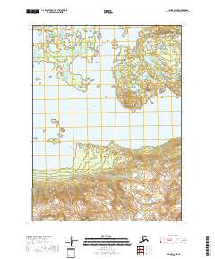
2018 · Iliamna C-4 NE
USGS Topo · 1:25,000
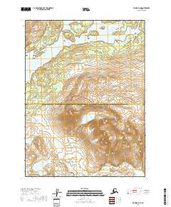
2018 · Iliamna B-4 NE
USGS Topo · 1:25,000
2018 · Iliamna B-5 NE
USGS Topo · 1:25,000