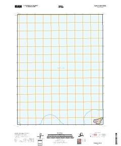
2018 Map of Iliamna A-2 SE
USGS Topo · Published 2018About this map
Katmai National Park borders the southern reaches of this maritime survey, where the terrestrial wilderness of the Kenai Peninsula meets the open waters of the Pacific Ocean. The landscape is defined by its coastal interface, featuring the isolated Shaw Island situated near the shoreline. This digital-era map highlights the administrative grid of the Public Land Survey System, specifically tracking the boundaries of t13s r25w and t13s r26w. The area remains largely undeveloped, preserving a pristine coastal environment where the focus is on the protected parklands and the natural topography of the Alaskan coast.
Find a feature on this map
5 named features on this map. Tap any name to fly to it.
Don’t see what you’re looking for? This feature index may not catch every label — zoom into the map to look around manually.
Map Details
Editions of this 2018 Iliamna A-2 SE Map
This is the sole edition of this map. No revisions or reprints were ever made.
Other maps of this area

1951 · Iliamna A-1 and A-2
USGS Topo · 1:63,360

1951 · Afognak D-5
USGS Topo · 1:63,360

1952 · Iliamna
USGS Topo · 1:250,000

1952 · Afognak
USGS Topo · 1:250,000

1957 · Iliamna
USGS Topo · 1:250,000
2018 · Iliamna A-1 NW
USGS Topo · 1:25,000
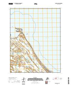
2018 · Iliamna A-2 SW
USGS Topo · 1:25,000
2018 · Iliamna A-1 SW
USGS Topo · 1:25,000
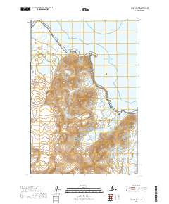
2019 · Afognak D-5 NE
USGS Topo · 1:25,000
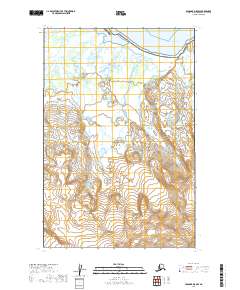
2019 · Afognak D-5 NW
USGS Topo · 1:25,000