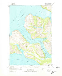
1952 Map of Afognak A-4
USGS Topo · Published 1974About this map
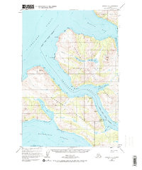
Afognak Island and Raspberry Island are separated by the narrow, winding waters of Raspberry Strait in this mid-century survey of Alaska's maritime landscape. The map captures the specialized infrastructure of the northern Gulf of Alaska, featuring the Wakefield cannery site and the nearby Port Vita (Abandoned) settlement. These locations, alongside a designated Seaplane Base, highlight the era's reliance on water-based transport and seasonal industry in the Aleutian Range foothills. The interior terrain is defined by high points like Cloud Peak and the freshwater systems of Upper Malina Lake and Lower Malina Lake, which drain toward Malina Bay. Coastal features such as Onion Bay and Muskomee Bay offer protected anchorages along the strait, illustrating the navigational complexity of these islands before significant modern development.
Find a feature on this map
30 named features on this map. Tap any name to fly to it.
Don’t see what you’re looking for? This feature index may not catch every label — zoom into the map to look around manually.
Map Details
Editions of this 1952 Afognak A-4 Map
3 editions found
Other maps of this area

1947 · Kodiak D-3
USGS Topo · 1:63,360

1949 · Kodiak D-3
USGS Topo · 1:63,360

1950 · Kodiak D-3
USGS Topo · 1:63,360

1952 · Kodiak
USGS Topo · 1:250,000

1952 · Afognak
USGS Topo · 1:250,000

1952 · Afognak A-4
USGS Topo · 1:63,360

1952 · Kodiak D-5
USGS Topo · 1:63,360

1952 · Afognak A-3
USGS Topo · 1:63,360
1952 · Afognak A-5
USGS Topo · 1:63,360

1952 · Kodiak D-4
USGS Topo · 1:63,360