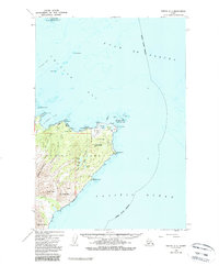
1949 Map of Kodiak C-1
USGS Topo · Published 1989About this map
Kodiak Island meets the churning waters of the Gulf of Alaska and the Pacific Ocean on this mid-century survey. The landscape is defined by the sharp protrusion of Cape Chiniak and the sheltered waters of Chiniak Bay. A significant portion of the land is designated as the U S Coast Guard Reservation, indicating the strategic importance of the northeastern coast during the post-war era. Inland, the terrain rises toward the Main Range, with prominent heights such as Boyer Peak and Slope Peak overlooking the Sacramento River drainage.
Find a feature on this map
44 named features on this map. Tap any name to fly to it.
Don’t see what you’re looking for? This feature index may not catch every label — zoom into the map to look around manually.
Map Details
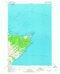
Editions of this 1949 Kodiak C-1 Map
3 editions found
Other maps of this area

1949 · Kodiak C-2
USGS Topo · 1:63,360

1949 · Kodiak B-1 and B-2
USGS Topo · 1:63,360

1949 · Kodiak D-2
USGS Topo · 1:63,360

1949 · Kodiak C-1
USGS Topo · 1:63,360

1949 · Kodiak D-1
USGS Topo · 1:63,360

1951 · Kodiak D-1
USGS Topo · 1:63,360

1951 · Kodiak B-1 and B-2
USGS Topo · 1:63,360

1951 · Kodiak D-2
USGS Topo · 1:63,360

1951 · Kodiak C-1
USGS Topo · 1:63,360

1952 · Kodiak
USGS Topo · 1:250,000