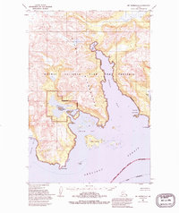
1951 Map of Mt. Katmai A-2
USGS Topo · Published 1994About this map
Amalik Bay and the complex shoreline of Katmai National Park and Preserve dominate this mid-century survey. The coastline is defined by protected waters and deep inlets, including the branching Hidden Harbor and the sheltered Russian Anchorage. Within Amalik Bay, the prominent Takli Island sits amidst numerous smaller unnamed islands and rocks, signifying the intricate maritime navigation required in these coastal waters.
Find a feature on this map
18 named features on this map. Tap any name to fly to it.
Don’t see what you’re looking for? This feature index may not catch every label — zoom into the map to look around manually.
Map Details
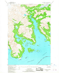
Editions of this 1951 Mt. Katmai A-2 Map
3 editions found
Other maps of this area

1948 · Mt Katmai
USGS Topo · 1:250,000

1951 · Mt Katmai
USGS Topo · 1:250,000

1951 · Karluk
USGS Topo · 1:250,000

1951 · Mount Katmai A-3
USGS Topo · 1:63,360

1951 · Mount Katmai A-2
USGS Topo · 1:63,360
1951 · Mount Katmai A-1
USGS Topo · 1:63,360

1951 · Mount Katmai B-3
USGS Topo · 1:63,360

1951 · Mount Katmai B-1
USGS Topo · 1:63,360

1951 · Mount Katmai B-2
USGS Topo · 1:63,360

1952 · Karluk
USGS Topo · 1:250,000