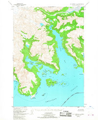
1951 Map of Mount Katmai A-2
USGS Topo · Published 1968About this map
Katmai National Monument spans this coastal reach of the Alaska Peninsula, where the landscape is defined by deep fjords and maritime shelters. Compiled from 1951 aerial photography, the map reveals a complex shoreline of intricate inlets like Geographic Harbor and Hidden Harbor, set against steep interior topography. These protected waters, including Russian Anchorage within Kinak Bay, have served as critical refuges for vessels navigating the volatile Shelikof Strait. The presence of extensive tidal flats at the head of several bays indicates the dynamic transition between glacial runoff and the sea. Along the southern coast, landmarks such as Cape Ilktugitak and Takli Island in Amalik Bay mark the interface of the mainland with the open strait, illustrating the remote and untouched character of this federal monument during the mid-twentieth century.
Find a feature on this map
14 named features on this map. Tap any name to fly to it.
Don’t see what you’re looking for? This feature index may not catch every label — zoom into the map to look around manually.
Map Details
Editions of this 1951 Mount Katmai A-2 Map
3 editions found
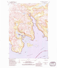
Other maps of this area

1948 · Mt Katmai
USGS Topo · 1:250,000

1951 · Mt Katmai
USGS Topo · 1:250,000

1951 · Karluk
USGS Topo · 1:250,000

1951 · Mount Katmai A-3
USGS Topo · 1:63,360

1951 · Mount Katmai A-2
USGS Topo · 1:63,360
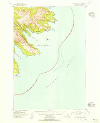
1951 · Mount Katmai A-1
USGS Topo · 1:63,360

1951 · Mount Katmai B-3
USGS Topo · 1:63,360

1951 · Mount Katmai B-1
USGS Topo · 1:63,360

1951 · Mount Katmai B-2
USGS Topo · 1:63,360

1952 · Karluk
USGS Topo · 1:250,000