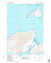
1952 Map of Trinity Islands C-1
USGS Topo · Published 1986About this map
Aiaktalik Island and the northern reaches of Sitkinak Island dominate this coastal survey within the Kodiak National Wildlife Refuge. The settlement of Aiaktalik sits on the island's northwestern shore, overlooking a secluded Cabin and the waters of Russian Harbor. Navigation and logistics are central to the landscape, evidenced by the Light on the island's northern tip and a designated Seaplane Anchorage near a Radio Tower on the shores of Sitkinak Lagoon. The terrain is characterized by prominent high points such as Sitkinak Dome and Pyramid, which rise above the extensive Tidal Flat areas. Separating the two primary islands is the Sitkinak Strait, a narrow passage connecting the inland lagoons and coastal coves to the open Pacific Ocean.
Find a feature on this map
29 named features on this map. Tap any name to fly to it.
Don’t see what you’re looking for? This feature index may not catch every label — zoom into the map to look around manually.
Map Details
Editions of this 1952 Trinity Islands C-1 Map
2 editions found
Other maps of this area

1951 · Kaguyak
USGS Topo · 1:250,000

1951 · Trinity Islands
USGS Topo · 1:250,000

1952 · Kaguyak
USGS Topo · 1:250,000

1952 · Trinity Islands D-2
USGS Topo · 1:63,360

1952 · Trinity Islands D-1
USGS Topo · 1:63,360

1952 · Kaguyak D-6
USGS Topo · 1:63,360

1952 · Trinity Islands C-1
USGS Topo · 1:63,360
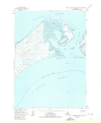
1952 · Trinity Islands B-2 and C-2
USGS Topo · 1:63,360

1954 · Trinity Islands C-1
USGS Topo · 1:63,360
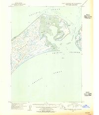
1954 · Trinity Islands B-2 and C-2
USGS Topo · 1:63,360