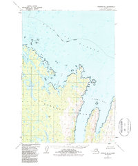
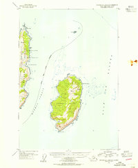
1952 Map of Afognak B-1
USGS Topo · Published 1987About this map
Afognak Island is defined by its deeply serrated coastline where the northern forests meet the Gulf of Alaska. This 1950s era survey illustrates a rugged coastal landscape of interconnected waterways and isolated outposts, centered around the massive reach of Seal Bay. The presence of cabins near the shores of Pauls Lake and Laura Lake hints at the island's history of trapping, fishing, and seasonal habitation. On the eastern edge, the dramatic Tonki Peninsula stretches into the sea, flanked by Tonki Bay and ending at the prominent Tonki Cape. The interior is characterized by freshwater systems like Gretchen Lake and various named peaks such as Head and Teed, which served as critical navigation markers for those traversing the treacherous waters near Phoenix Bay and the Seal Islands.
Find a feature on this map
33 named features on this map. Tap any name to fly to it.
Don’t see what you’re looking for? This feature index may not catch every label — zoom into the map to look around manually.
Map Details
Editions of this 1952 Afognak B-1 Map
3 editions found
Other maps of this area

1952 · Afognak
USGS Topo · 1:250,000

1952 · Afognak C-1 and C-2
USGS Topo · 1:63,360

1952 · Afognak A-1
USGS Topo · 1:63,360

1952 · Afognak A-2
USGS Topo · 1:63,360

1952 · Afognak B-2
USGS Topo · 1:63,360

1952 · Afognak B-1
USGS Topo · 1:63,360
1952 · Afognak A-0 and B-0
USGS Topo · 1:63,360
1953 · Afognak A-1
USGS Topo · 1:63,360
1953 · Afognak A-0 and B-0
USGS Topo · 1:63,360

1954 · Afognak B-2
USGS Topo · 1:63,360