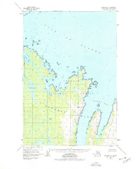
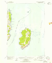
1952 Map of Afognak B-1
USGS Topo · Published 1978About this map
Afognak Island reveals its jagged, glacially-carved shoreline in this mid-century survey, dominated by the maritime reaches of Seal Bay and Tonki Bay. This rugged coastal landscape is largely preserved within the Chugach National Forest, showing a wilderness almost entirely devoid of permanent infrastructure, save for isolated Cabins near Paula Lake. The map details a complex hydrographic network where freshwater bodies like Laura Lake and Gretchen Lake sit just inland from the saltwater inlets of Phoenix Bay and Saposa Bay. Small maritime hazards and landmarks, including the Seal Islands and the Evsky Rock, highlight the area's importance for local coastal navigation. The presence of named points like Tolstoi Pt and Posliedni Pt reflects the enduring Russian influence on the toponymy of the Kodiak Archipelago.
Find a feature on this map
27 named features on this map. Tap any name to fly to it.
Don’t see what you’re looking for? This feature index may not catch every label — zoom into the map to look around manually.
Map Details
Editions of this 1952 Afognak B-1 Map
3 editions found
Other maps of this area

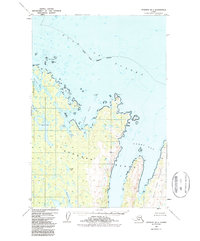
1952 · Afognak
USGS Topo · 1:250,000

1952 · Afognak C-1 and C-2
USGS Topo · 1:63,360

1952 · Afognak A-1
USGS Topo · 1:63,360

1952 · Afognak A-2
USGS Topo · 1:63,360

1952 · Afognak B-2
USGS Topo · 1:63,360

1952 · Afognak B-1
USGS Topo · 1:63,360
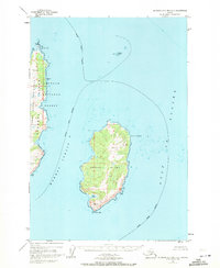
1952 · Afognak A-0 and B-0
USGS Topo · 1:63,360
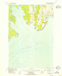
1953 · Afognak A-1
USGS Topo · 1:63,360
1953 · Afognak A-0 and B-0
USGS Topo · 1:63,360

1954 · Afognak B-2
USGS Topo · 1:63,360