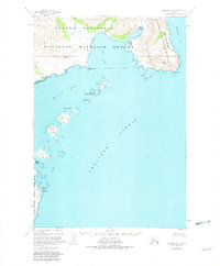
1951 Map of Ugashik B-1
USGS Topo · Published 1981About this map
Lee Cabin stands as a rare point of human habitation on this coastal stretch of the Alaska Peninsula during the early 1950s. The map illustrates a landscape of complex littoral geography where the Alaska Peninsula National Wildlife Refuge and Becharof National Wildlife Refuge meet the sea. The terrain is defined by dramatic coastal points and numerous offshore islands, including Terrace Island and Hartman Island in the entrance to Wide Bay.
Find a feature on this map
19 named features on this map. Tap any name to fly to it.
Don’t see what you’re looking for? This feature index may not catch every label — zoom into the map to look around manually.
Map Details
Editions of this 1951 Ugashik B-1 Map
3 editions found
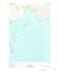
Other maps of this area

1943 · Ugashik
USGS Topo · 1:250,000

1948 · Ugashik
USGS Topo · 1:250,000

1949 · Ugashik
USGS Topo · 1:250,000

1951 · Karluk
USGS Topo · 1:250,000

1951 · Ugashik B-1
USGS Topo · 1:63,360

1951 · Ugashik C-1
USGS Topo · 1:63,360

1951 · Ugashik C-2
USGS Topo · 1:63,360
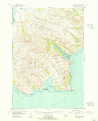
1951 · Karluk C-6
USGS Topo · 1:63,360

1951 · Ugashik A-2
USGS Topo · 1:63,360

1951 · Ugashik B-2
USGS Topo · 1:63,360