
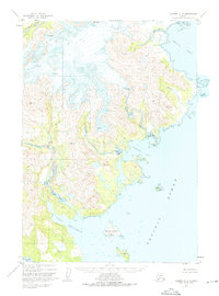
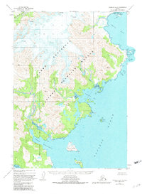
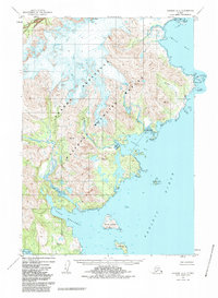
1951 Map of Ugashik A-2
USGS Topo · Published 1956About this map
Icy Peak dominates the northern reaches of this coastal landscape, where high-altitude ice fields give way to numerous crevasses and steep glacial drainage. The map documents the intricate coastline of the Alaska Peninsula in the early 1950s, defined by deep indentations like Imuya Bay and Agripina Bay. Further south, the sheltered waters of Port Wrangell provide a stark contrast to the open Pacific Ocean. This survey reveals a landscape largely devoid of human infrastructure, instead emphasizing natural navigation aids and topographic high points. Multiple survey markers, such as VABM 2919 Snow and VABM 1970 Imuya, pinpoint the primary summits used for mapping this coastline. Coastal features like David Island and the jagged Kilokak Rocks near Cape Kilokak illustrate the hazards of this maritime environment.
Find a feature on this map
24 named features on this map. Tap any name to fly to it.
Don’t see what you’re looking for? This feature index may not catch every label — zoom into the map to look around manually.
Map Details
Editions of this 1951 Ugashik A-2 Map
4 editions found
Other maps of this area

1943 · Ugashik
USGS Topo · 1:250,000

1948 · Ugashik
USGS Topo · 1:250,000

1949 · Ugashik
USGS Topo · 1:250,000

1951 · Sutwik Island
USGS Topo · 1:250,000

1951 · Ugashik B-1
USGS Topo · 1:63,360

1951 · Ugashik B-3
USGS Topo · 1:63,360

1951 · Ugashik B-2
USGS Topo · 1:63,360

1954 · Ugashik A-3
USGS Topo · 1:63,360

1954 · Sutwik Island D-3
USGS Topo · 1:63,360

1963 · Sutwik Island
USGS Topo · 1:250,000