
1954 Map of Sutwik Island D-3
USGS Topo · Published 1968About this map
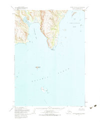
Nakalilok Bay and Chiginagak Bay indent the coastline of the Alaska Peninsula in this mid-century survey, revealing a landscape defined by its maritime exposure and coastal topography. The coastline is marked by distinct landforms such as Cape Kuyuyukak and the steep elevation of Cliff. Offshore, the survey documents numerous islands and navigational hazards, including the isolated Central Island and the larger Ugaiushak Island, which features Cabins and a landmark named Hawk.
Find a feature on this map
18 named features on this map. Tap any name to fly to it.
Don’t see what you’re looking for? This feature index may not catch every label — zoom into the map to look around manually.
Map Details
Editions of this 1954 Sutwik Island D-3 Map
2 editions found
Other maps of this area

1943 · Ugashik
USGS Topo · 1:250,000

1948 · Ugashik
USGS Topo · 1:250,000

1949 · Ugashik
USGS Topo · 1:250,000

1951 · Sutwik Island
USGS Topo · 1:250,000

1951 · Ugashik A-2
USGS Topo · 1:63,360

1954 · Ugashik A-3
USGS Topo · 1:63,360

1963 · Ugashik A-4
USGS Topo · 1:63,360
1963 · Sutwik Island C-4
USGS Topo · 1:63,360

1963 · Sutwik Island
USGS Topo · 1:250,000
1963 · Sutwik Island D-4
USGS Topo · 1:63,360