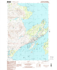
1987 Map of Kodiak D-2 SE
USGS Topo · Published 1988About this map
Kodiak stands as the central hub of activity in this coastal survey, where the town's growth is framed by the steep rise of Pillar Mountain and the jagged peaks of the Devils Prongs. The landscape reflects a significant maritime and military presence, evidenced by the extensive Coast Guard Reservation and Uscg Res facilities. Waterways like St Paul Harbor and Monashka Bay define the shoreline, while smaller inland bodies such as Mission Lake and Island Lake dot the peninsula. Historically significant sites like Fort Abercrombie State Historic Park occupy the northeastern coast near Spruce Cape. This map captures a moment of modern development alongside rugged natural geography, showing the Kodiak Airport at the southern edge and the outlying settlement of Aleksashkina on Woody Island.
Find a feature on this map
70 named features on this map. Tap any name to fly to it.
Don’t see what you’re looking for? This feature index may not catch every label — zoom into the map to look around manually.
Map Details
Editions of this 1987 Kodiak D-2 SE Map
2 editions found
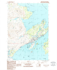
Other maps of this area

1949 · Kodiak C-2
USGS Topo · 1:63,360

1949 · Kodiak D-2
USGS Topo · 1:63,360

1949 · Kodiak C-1
USGS Topo · 1:63,360

1949 · Kodiak D-1
USGS Topo · 1:63,360

1951 · Kodiak D-1
USGS Topo · 1:63,360

1951 · Kodiak D-2
USGS Topo · 1:63,360

1951 · Kodiak C-1
USGS Topo · 1:63,360

1952 · Kodiak
USGS Topo · 1:250,000
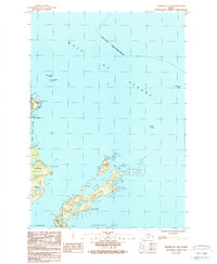
1987 · Kodiak D-1 SW
USGS Topo · 1:25,000
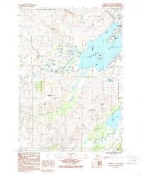
1987 · Kodiak C-2 NW
USGS Topo · 1:25,000