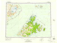
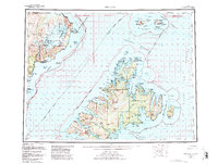
1952 Map of Afognak
USGS Topo · Published 1957About this map
Afognak Island and the surrounding archipelago define this mid-century survey of the northern Kodiak region. The landscape reflects a period of transition, noting several former settlements such as Afognak (Aband) and Kaguyak (Aband) alongside established centers like Port William. The map illustrates the complex coastline of Shelikof Strait and Cook Inlet, where the Katmai National Monument meets the sea at Cape Douglas. Navigational and communication infrastructure is present at the Shuyak Radio Communication Center on Shuyak Island. The interior is characterized by significant elevations such as Mt Douglas and Paramanof Mtn, while the water bodies of Malina Lake and the Afognak River indicate the freshwater resources of the Chugach National Forest area.
Find a feature on this map
81 named features on this map. Tap any name to fly to it.
Don’t see what you’re looking for? This feature index may not catch every label — zoom into the map to look around manually.
Map Details
Editions of this 1952 Afognak Map
10 editions found

1953 edition
30.6 x 23.1 inches
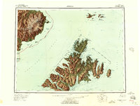
1957 edition
30.4 x 23.1 inches
1957 edition
30.3 x 23.1 inches
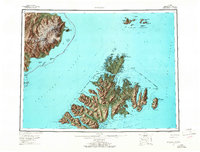
1965 edition
30.4 x 23.1 inches
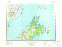
1965 edition
30.4 x 23.1 inches
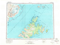
1971 edition
30.4 x 23.1 inches
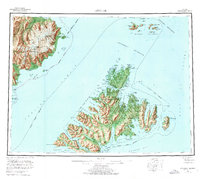
1976 edition
25.9 x 23.2 inches
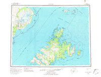
1981 edition
30.4 x 23.1 inches
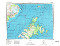
1982 edition
30.3 x 23.2 inches
1988 edition
30.3 x 22.8 inches
Other maps of this area

1947 · Kodiak D-3
USGS Topo · 1:63,360

1948 · Mt Katmai
USGS Topo · 1:250,000

1949 · Kodiak D-2
USGS Topo · 1:63,360

1949 · Kodiak D-3
USGS Topo · 1:63,360

1949 · Kodiak D-1
USGS Topo · 1:63,360

1950 · Kodiak D-3
USGS Topo · 1:63,360

1951 · Kodiak D-1
USGS Topo · 1:63,360

1951 · Kodiak D-2
USGS Topo · 1:63,360

1951 · Mt Katmai
USGS Topo · 1:250,000

1951 · Karluk
USGS Topo · 1:250,000