
1952 Map of Kodiak C-6
USGS Topo · Published 1967About this map
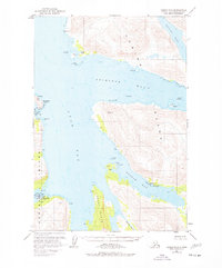
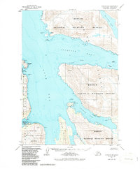
Maritime activity and coastal industry define this 1952 topographic study of the western shore of Kodiak Island. The settlement at Larsen Bay serves as a primary hub of activity, featuring a Cannery, a Seaplane Base, and a Cem alongside essential infrastructure like a Tank and Radio Towers. The intricate coastline, part of the Kodiak National Wildlife Refuge, is punctuated by numerous Cabins and navigational landmarks such as Chief Pt and Hook Pt.
Find a feature on this map
34 named features on this map. Tap any name to fly to it.
Don’t see what you’re looking for? This feature index may not catch every label — zoom into the map to look around manually.
Map Details
Editions of this 1952 Kodiak C-6 Map
3 editions found
Other maps of this area

1951 · Karluk
USGS Topo · 1:250,000

1951 · Kodiak D-6
USGS Topo · 1:63,360

1952 · Kodiak
USGS Topo · 1:250,000

1952 · Karluk
USGS Topo · 1:250,000

1952 · Kodiak B-6
USGS Topo · 1:63,360

1952 · Karluk B-1
USGS Topo · 1:63,360

1952 · Kodiak C-5
USGS Topo · 1:63,360

1952 · Kodiak D-5
USGS Topo · 1:63,360

1952 · Kodiak B-5
USGS Topo · 1:63,360

1952 · Karluk C-1
USGS Topo · 1:63,360