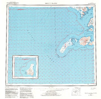
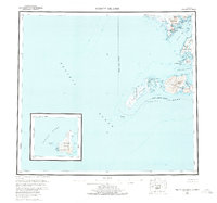
1954 Map of Trinity Islands
USGS Topo · Published 1983About this map
The Akhiok settlement on the southern reaches of Kodiak Island stands as the primary inhabited point in this maritime survey, situated near the mouth of Alitak Bay. The landscape is dominated by the sprawling Kodiak National Wildlife Refuge, where the terrain rises to Tungulara Mountain before descending toward the intricate coastlines of Deadman Bay and Sukhoi Lagoon. This 1954 edition, updated with 1980s data, details the remote Trinity Islands, including the extensive tidal flats of Tugidak Island and the prominent Sitkinak Dome on its neighbor, Sitkinak Island.
Find a feature on this map
44 named features on this map. Tap any name to fly to it.
Don’t see what you’re looking for? This feature index may not catch every label — zoom into the map to look around manually.
Map Details
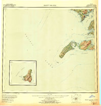
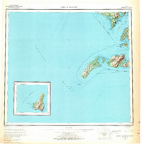
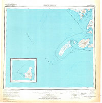
Editions of this 1954 Trinity Islands Map
7 editions found

Other maps of this area

1943 · Ugashik
USGS Topo · 1:250,000

1948 · Ugashik
USGS Topo · 1:250,000

1949 · Ugashik
USGS Topo · 1:250,000

1951 · Kaguyak
USGS Topo · 1:250,000

1951 · Trinity Islands
USGS Topo · 1:250,000

1951 · Karluk
USGS Topo · 1:250,000

1951 · Sutwik Island
USGS Topo · 1:250,000

1952 · Kodiak
USGS Topo · 1:250,000

1952 · Kaguyak
USGS Topo · 1:250,000

1952 · Karluk
USGS Topo · 1:250,000