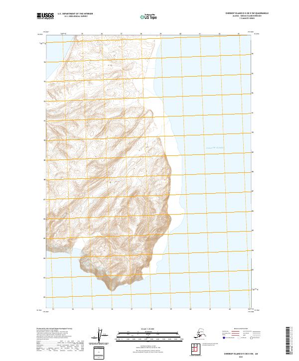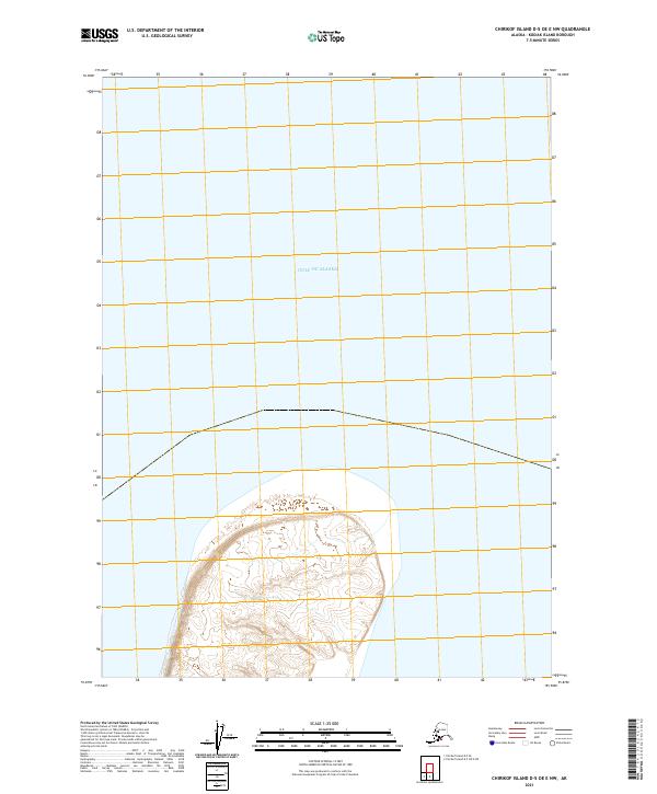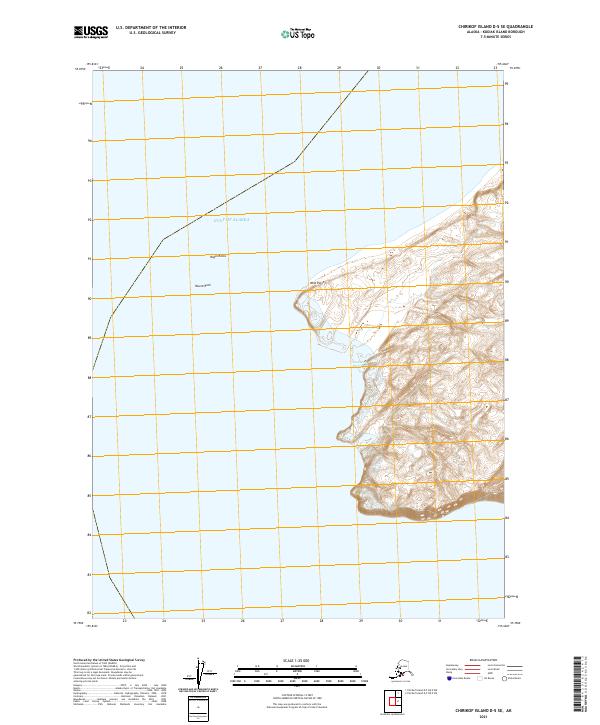
2021 Map of Chirikof Island D-5 SE
USGS Topo · Published 2021About this map
Southwest Anchorage provides a primary point of coastal indentation on this island map, where the terrain transitions sharply from the Gulf of Alaska to steep, contoured ridges. The western edge of the landmass is defined by prominent maritime landmarks including West Point and the nearby Nagai Rocks. This 2021 survey by the U.S. Geological Survey illustrates the isolation of this corner of the Kodiak Island Borough, dominated by natural features rather than human infrastructure. Navigational points such as Round Rock stand off the coast, serving as critical reference markers for those traversing these northern waters. The map effectively documents the intersection of Public Land Survey System boundaries t50s r42w and t51s r42w against the island's rocky perimeter.
Find a feature on this map
7 named features on this map. Tap any name to fly to it.
Don’t see what you’re looking for? This feature index may not catch every label — zoom into the map to look around manually.
Map Details
Editions of this 2021 Chirikof Island D-5 SE Map
This is the sole edition of this map. No revisions or reprints were ever made.