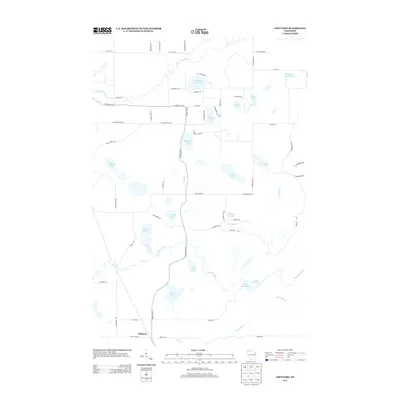
2013 Map of Chittamo
USGS Topo · Published 2013About this map
Chittamo serves as the primary named settlement in this pocket of Douglas County, where the landscape is defined by a dense network of glacial lakes and winding waterways. The Totagatic River snakes across the southern reaches of the quadrangle, joined by the Ounce River and Black Brook near the sprawling waters of the Colton Flowage. The terrain is characterized by numerous named basins including Sauntrys Pocket Lake, Mulligan Lake, and Derosier Lake, many of which are connected by a secondary road system such as S County Hwy-G. To the north, the Eau Claire River cuts through the timberlands, while the northeastern corner is dominated by the Mahogany Marsh Lake. This 2013 survey provides a clear view of the hydrological patterns and rural land divisions in northern Wisconsin, showing how the natural flow of the rivers has influenced the placement of local roads like Sawyer Lake Rd and S Snake Lake Rd.
Find a feature on this map
64 named features on this map. Tap any name to fly to it.
Don’t see what you’re looking for? This feature index may not catch every label — zoom into the map to look around manually.
Map Details
Editions of this 2013 Chittamo Map
This is the sole edition of this map. No revisions or reprints were ever made.
Other maps of this area

1945 · Highland
USGS Topo · 1:48,000

1945 · Solon Springs
USGS Topo · 1:48,000

1947 · Chittamo
USGS Topo · 1:48,000

1947 · Minong
USGS Topo · 1:48,000

1949 · Solon Springs
USGS Topo · 1:48,000

1949 · Chittamo
USGS Topo · 1:48,000

1949 · Minong
USGS Topo · 1:48,000

1949 · Highland
USGS Topo · 1:48,000

1953 · Ashland
USGS Topo · 1:250,000

1958 · Ashland
USGS Topo · 1:250,000