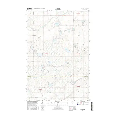
2015 Map of Chittamo
USGS Topo · Published 2015About this map
Chittamo marks the southern reach of this northern Wisconsin landscape, where the border between Douglas and Washburn counties bisects a complex network of glacial lakes and waterways. The Totagatic River flows through the southern half of the map, widening into the Colton Flowage, while the Eau Claire River cuts across the northern section. This area is characterized by a dense concentration of named water bodies, including Mulligan Lake, Sauntrys Pocket Lake, and Mahogany Marsh Lake, which are interconnected by smaller streams such as Snake Cr and the Quince River.
Find a feature on this map
74 named features on this map. Tap any name to fly to it.
Don’t see what you’re looking for? This feature index may not catch every label — zoom into the map to look around manually.
Map Details
Editions of this 2015 Chittamo Map
This is the sole edition of this map. No revisions or reprints were ever made.
Other maps of this area
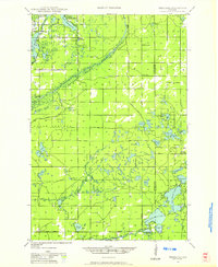
1945 · Highland
USGS Topo · 1:48,000
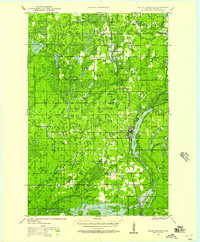
1945 · Solon Springs
USGS Topo · 1:48,000
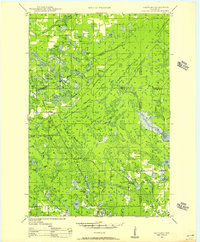
1947 · Chittamo
USGS Topo · 1:48,000
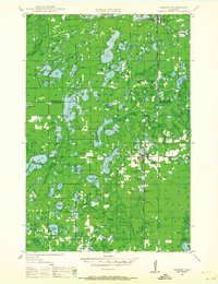
1947 · Minong
USGS Topo · 1:48,000
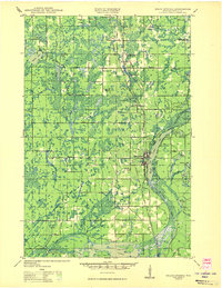
1949 · Solon Springs
USGS Topo · 1:48,000
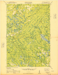
1949 · Chittamo
USGS Topo · 1:48,000
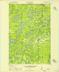
1949 · Minong
USGS Topo · 1:48,000
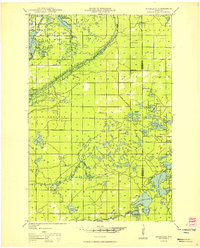
1949 · Highland
USGS Topo · 1:48,000
1953 · Ashland
USGS Topo · 1:250,000
1958 · Ashland
USGS Topo · 1:250,000