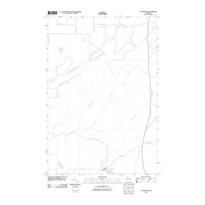
2010 Map of Chittamo NE
USGS Topo · Published 2010About this map
The Totagatic River and its managed tributaries dominate this northern Wisconsin landscape, where water conservation and timber access define the local geography. In the southern reach, the 2WP804 Dam creates the Totagatic Wildlife Flowage, a significant wetland habitat supporting regional biodiversity. This network of riparian corridors includes the Ounce River, Haymaker Creek, and Cole Creek, which drain a densely forested region primarily accessed via a grid of secondary timber and fire roads.
Find a feature on this map
30 named features on this map. Tap any name to fly to it.
Don’t see what you’re looking for? This feature index may not catch every label — zoom into the map to look around manually.
Map Details
Editions of this 2010 Chittamo NE Map
This is the sole edition of this map. No revisions or reprints were ever made.
Other maps of this area

1944 · Drummond
USGS Topo · 1:48,000

1944 · Hayward
USGS Topo · 1:48,000

1945 · Highland
USGS Topo · 1:48,000

1947 · Drummond
USGS Topo · 1:48,000

1947 · Chittamo
USGS Topo · 1:48,000

1949 · Chittamo
USGS Topo · 1:48,000

1949 · Highland
USGS Topo · 1:48,000

1953 · Ashland
USGS Topo · 1:250,000

1958 · Ashland
USGS Topo · 1:250,000
1961 · Ellison Lake
USGS Topo · 1:62,500