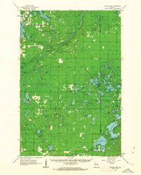
1961 Map of Ellison Lake
USGS Topo · Published 1963About this map
Brule River State Forest dominates this northern landscape, defined by the winding course of the Bois Brule River as it cuts through the Highland terrain. In the early 1960s, the village of Lake Nebagamon served as the primary settlement anchor, surrounded by a dense network of glacial water bodies including Minnesuing Lake, Big Lake, and Simms Lake. The map reveals a region transitioning from wilderness to recreation and conservation, evidenced by the presence of the Fish Hatchery, multiple fire towers like the Highland Lookout Tower, and small airstrips such as the Cedar Island Airport. For genealogists and local historians, the placement of the Barnes Cem and various named camps like Camp Bovey provides specific points of interest for family and community research within the Douglas and Bayfield county borderlands.
Find a feature on this map
86 named features on this map. Tap any name to fly to it.
Don’t see what you’re looking for? This feature index may not catch every label — zoom into the map to look around manually.
Map Details
Editions of this 1961 Ellison Lake Map
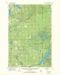
2 editions found
Other maps of this area

1943 · Iron Lake
USGS Topo · 1:48,000

1944 · Drummond
USGS Topo · 1:48,000

1944 · Hayward
USGS Topo · 1:48,000

1945 · Highland
USGS Topo · 1:48,000

1945 · Solon Springs
USGS Topo · 1:48,000

1947 · Drummond
USGS Topo · 1:48,000

1947 · Brule
USGS Topo · 1:48,000

1947 · Iron Lake
USGS Topo · 1:48,000

1947 · Chittamo
USGS Topo · 1:48,000

1947 · Minong
USGS Topo · 1:48,000