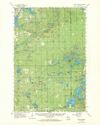
1961 Map of Ellison Lake
USGS Topo · Published 1971About this map
The Brule River State Forest dominates this northern Wisconsin landscape as it appeared in the early 1960s, preserving a complex network of glacial lakes and spring-fed waterways. The Bois Brule River snakes through the center of the sheet, famous for its historic trout waters and the elite retreats like Cedar Island Estate and Stones Bridge. This area, situated along the boundary of Douglas Co and Bayfield Co, shows a transition from the village life at Lake Nebagamon Village Bdy to the high, forested ridges of Highland. Significant landmarks for local history include the Highland Lookout Tower, Camp Bovey, and the Barnes Cem. The presence of several remote landing strips, such as the Valley Farm Lodge Airport, underscores the region's mid-century role as a destination for seasonal aviation and sporting tourism.
Find a feature on this map
91 named features on this map. Tap any name to fly to it.
Don’t see what you’re looking for? This feature index may not catch every label — zoom into the map to look around manually.
Map Details
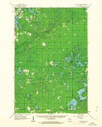
Editions of this 1961 Ellison Lake Map
2 editions found
Other maps of this area

1943 · Iron Lake
USGS Topo · 1:48,000

1944 · Drummond
USGS Topo · 1:48,000

1944 · Hayward
USGS Topo · 1:48,000

1945 · Highland
USGS Topo · 1:48,000

1945 · Solon Springs
USGS Topo · 1:48,000

1947 · Drummond
USGS Topo · 1:48,000

1947 · Brule
USGS Topo · 1:48,000

1947 · Iron Lake
USGS Topo · 1:48,000

1947 · Chittamo
USGS Topo · 1:48,000

1947 · Minong
USGS Topo · 1:48,000