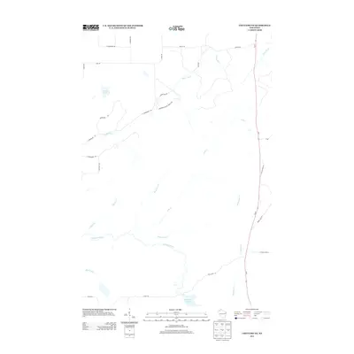
2013 Map of Chittamo NE
USGS Topo · Published 2013About this map
The Totagatic River and its expansive Totagatic Flowage anchor the southern portion of this northern Wisconsin landscape. This area, largely defined by its intricate network of waterways and glacial features, includes several named tributaries such as Ounce River, Cole Cr, and O'Hara Cr. The road network hints at the local recreational and resource-based economy, featuring distinctively named routes like Coppermine Scenic Drive Loop, Jack Pine Loop, and Camp Eatmore Rd. While the terrain is dominated by water and wetlands, including Goose Lake, the presence of Copper Mine Rd suggests a history of mineral exploration. State route Wi-27 provides the primary north-south corridor through the eastern section, connecting this relatively sparse wilderness area to larger Douglas County hubs.
Find a feature on this map
30 named features on this map. Tap any name to fly to it.
Don’t see what you’re looking for? This feature index may not catch every label — zoom into the map to look around manually.
Map Details
Editions of this 2013 Chittamo NE Map
This is the sole edition of this map. No revisions or reprints were ever made.
Other maps of this area

1944 · Drummond
USGS Topo · 1:48,000

1944 · Hayward
USGS Topo · 1:48,000

1945 · Highland
USGS Topo · 1:48,000

1947 · Drummond
USGS Topo · 1:48,000

1947 · Chittamo
USGS Topo · 1:48,000

1949 · Chittamo
USGS Topo · 1:48,000

1949 · Highland
USGS Topo · 1:48,000

1953 · Ashland
USGS Topo · 1:250,000

1958 · Ashland
USGS Topo · 1:250,000
1961 · Ellison Lake
USGS Topo · 1:62,500