
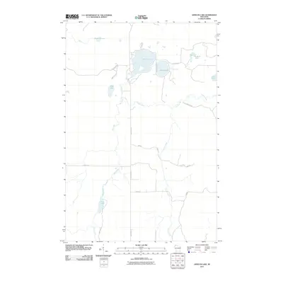
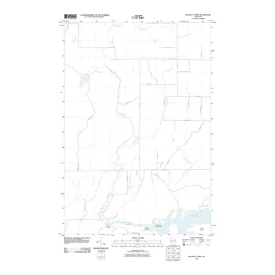
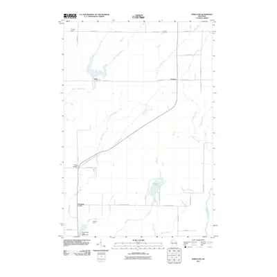
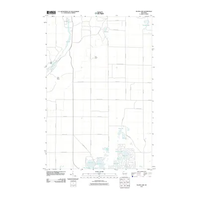
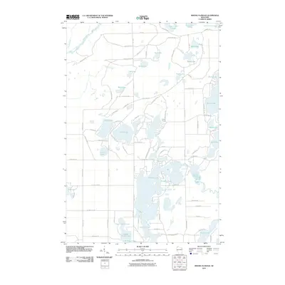
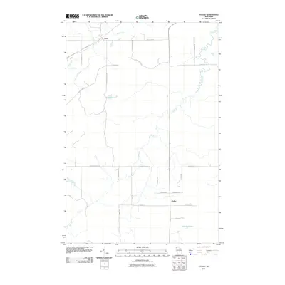
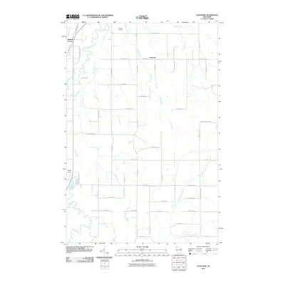
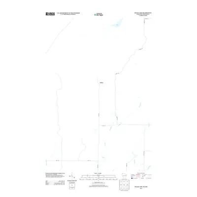
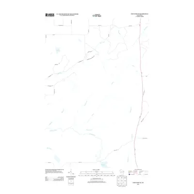
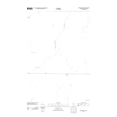
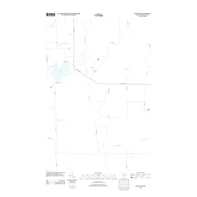
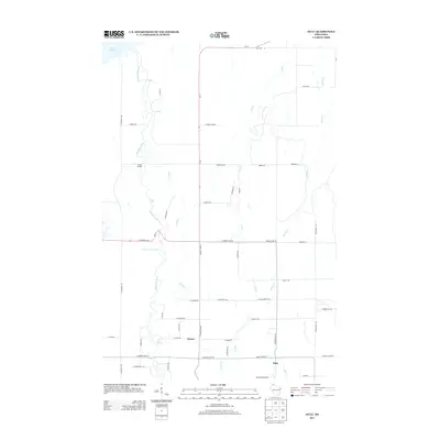
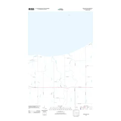
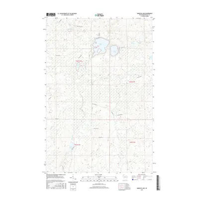
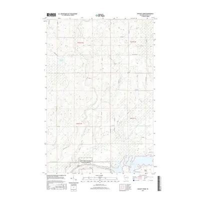
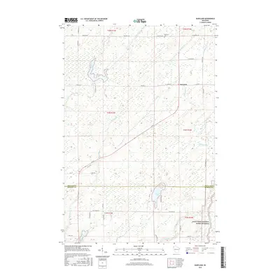
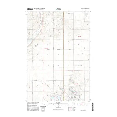
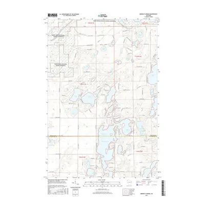
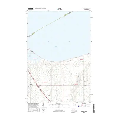
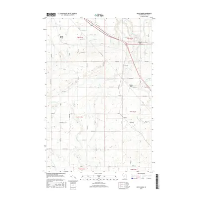
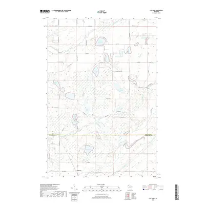
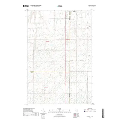
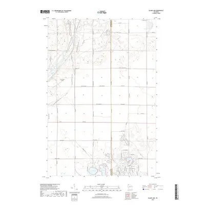
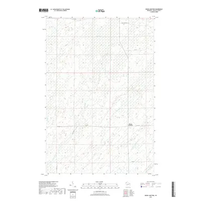
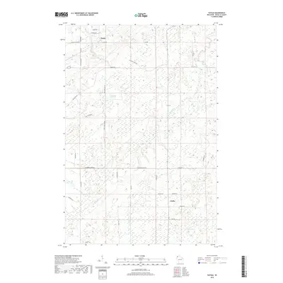
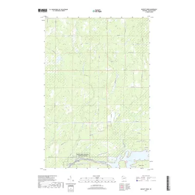
1971 Map of Chittamo NE
USGS Topo · Published 1973About this map
The Totagatic River State Wildlife Management Area anchors the southern portion of this landscape, where the Totagatic Flowage and the meandering Totagatic River define the local hydrology. This 1970s survey captures a northwoods intersection of four Wisconsin counties—Douglas, Bayfield, Washburn, and Sawyer—across the townships of Gordon, Barnes, Wascott, Frog Creek, and Lenroot.
Find a feature on this map
25 named features on this map. Tap any name to fly to it.
Don’t see what you’re looking for? This feature index may not catch every label — zoom into the map to look around manually.
Map Details
Editions of this 1971 Chittamo NE Map
This is the sole edition of this map. No revisions or reprints were ever made.
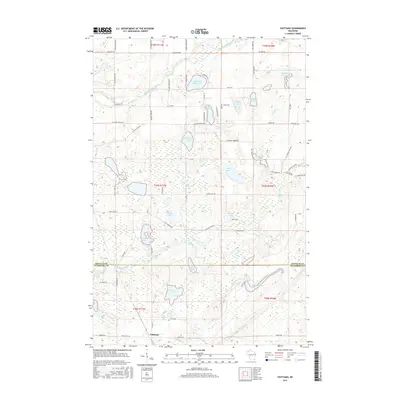
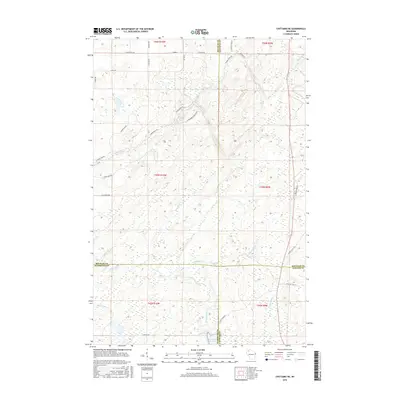
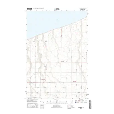
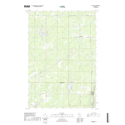
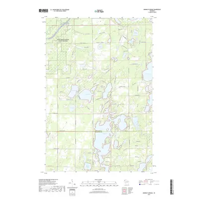
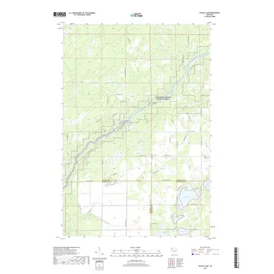
Historical Maps of Gordon Through Time
162 maps found

1945 Highland
Douglas County, WI

1949 Highland
Douglas County, WI

1949 Patzau
Douglas County, WI

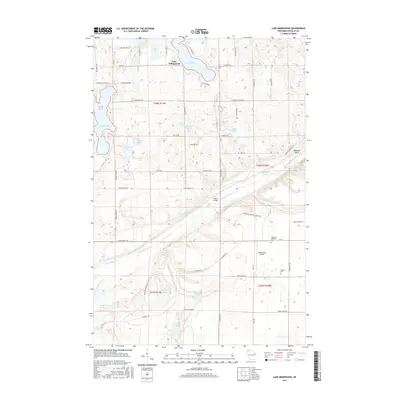
1954 Amnicon Lake
Douglas County, WI

1954 Borea
Douglas County, WI

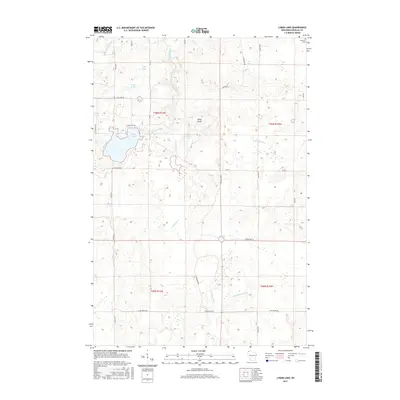
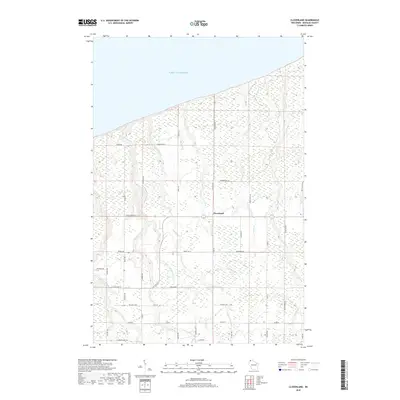
1954 Cloverland
Douglas County, WI

1954 Foxboro
Douglas County, WI

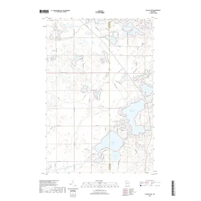
1954 Lyman Lake
Douglas County, WI

1954 Parkland
Douglas County, WI

1954 Patzau
Douglas County, WI

1954 Poplar NE
Douglas County, WI

1954 South Range
Douglas County, WI

1954 Sunnyside
Douglas County, WI

1955 Patzau
Douglas County, WI

1961 Cloverland
Douglas County, WI

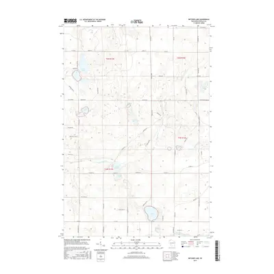
1961 Ellison Lake
Douglas County, WI

1961 Lyman Lake
Douglas County, WI

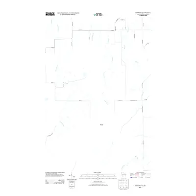
1971 Chittamo
Douglas County, WI
1971 Chittamo NE
Douglas County, WI

1981 Bennett
Douglas County, WI

1982 Buckety Creek
Douglas County, WI

1982 Minong Flowage
Douglas County, WI

1983 Black Lake
Douglas County, WI

1983 Dairyland
Douglas County, WI

1983 Empire Swamp
Douglas County, WI

1983 Moose Junction
Douglas County, WI

1983 Scovils Lake
Douglas County, WI

1984 Ellison Lake
Douglas County, WI

1984 Island Lake
Douglas County, WI

1984 Lake Minnesuing
Douglas County, WI

1984 Metzger Lake
Douglas County, WI

1984 Oulu
Douglas County, WI
2010 Amnicon Lake
Douglas County, WI
2010 Bennett
Douglas County, WI
2010 Black Lake
Douglas County, WI
2010 Borea
Douglas County, WI
2010 Buckety Creek
Douglas County, WI
2010 Chittamo
Douglas County, WI
2010 Chittamo NE
Douglas County, WI
2010 Cloverland
Douglas County, WI
2010 Dairyland
Douglas County, WI
2010 Ellison Lake
Douglas County, WI
2010 Empire Swamp
Douglas County, WI
2010 Foxboro
Douglas County, WI
2010 Island Lake
Douglas County, WI
2010 Lake Minnesuing
Douglas County, WI
2010 Lyman Lake
Douglas County, WI
2010 Metzger Lake
Douglas County, WI
2010 Minong Flowage
Douglas County, WI
2010 Moose Junction
Douglas County, WI
2010 Oulu
Douglas County, WI
2010 Parkland
Douglas County, WI
2010 Patzau
Douglas County, WI
2010 Poplar NE
Douglas County, WI
2010 Scovils Lake
Douglas County, WI
2010 South Range
Douglas County, WI
2010 Sunnyside
Douglas County, WI
2011 Oulu OE N
Douglas County, WI
2013 Amnicon Lake
Douglas County, WI
2013 Bennett
Douglas County, WI
2013 Black Lake
Douglas County, WI
2013 Borea
Douglas County, WI
2013 Buckety Creek
Douglas County, WI
2013 Chittamo
Douglas County, WI
2013 Chittamo NE
Douglas County, WI
2013 Cloverland
Douglas County, WI
2013 Dairyland
Douglas County, WI
2013 Ellison Lake
Douglas County, WI
2013 Empire Swamp
Douglas County, WI
2013 Foxboro
Douglas County, WI
2013 Island Lake
Douglas County, WI
2013 Lake Minnesuing
Douglas County, WI
2013 Lyman Lake
Douglas County, WI
2013 Metzger Lake
Douglas County, WI
2013 Minong Flowage
Douglas County, WI
2013 Moose Junction
Douglas County, WI
2013 Oulu
Douglas County, WI
2013 Oulu OE N
Douglas County, WI
2013 Parkland
Douglas County, WI
2013 Patzau
Douglas County, WI
2013 Poplar NE
Douglas County, WI
2013 Scovils Lake
Douglas County, WI
2013 South Range
Douglas County, WI
2013 Sunnyside
Douglas County, WI
2015 Amnicon Lake
Douglas County, WI
2015 Bennett
Douglas County, WI
2015 Black Lake
Douglas County, WI
2015 Borea
Douglas County, WI
2015 Buckety Creek
Douglas County, WI
2015 Chittamo
Douglas County, WI
2015 Chittamo NE
Douglas County, WI
2015 Cloverland
Douglas County, WI
2015 Dairyland
Douglas County, WI
2015 Ellison Lake
Douglas County, WI
2015 Empire Swamp
Douglas County, WI
2015 Foxboro
Douglas County, WI
2015 Island Lake
Douglas County, WI
2015 Lake Minnesuing
Douglas County, WI
2015 Lyman Lake
Douglas County, WI
2015 Metzger Lake
Douglas County, WI
2015 Minong Flowage
Douglas County, WI
2015 Moose Junction
Douglas County, WI
2015 Oulu
Douglas County, WI
2015 Oulu OE N
Douglas County, WI
2015 Parkland
Douglas County, WI
2015 Patzau
Douglas County, WI
2015 Poplar NE
Douglas County, WI
2015 Scovils Lake
Douglas County, WI
2015 South Range
Douglas County, WI
2015 Sunnyside
Douglas County, WI
2018 Amnicon Lake
Douglas County, WI
2018 Bennett
Douglas County, WI
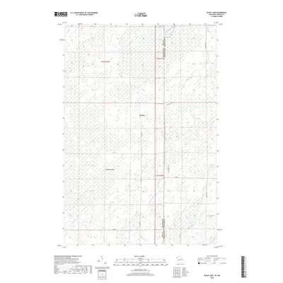
2018 Black Lake
Douglas County, WI
2018 Borea
Douglas County, WI
2018 Chittamo
Douglas County, WI
2018 Chittamo NE
Douglas County, WI
2018 Cloverland
Douglas County, WI
2018 Ellison Lake
Douglas County, WI
2018 Empire Swamp
Douglas County, WI
2018 Foxboro
Douglas County, WI
2018 Island Lake
Douglas County, WI
2018 Lake Minnesuing
Douglas County, WI
2018 Lyman Lake
Douglas County, WI
2018 Metzger Lake
Douglas County, WI
2018 Moose Junction
Douglas County, WI
2018 Oulu
Douglas County, WI
2018 Oulu OE N
Douglas County, WI
2018 Parkland
Douglas County, WI
2018 Patzau
Douglas County, WI
2018 Poplar NE
Douglas County, WI
2018 South Range
Douglas County, WI
2018 Sunnyside
Douglas County, WI
2019 Buckety Creek
Douglas County, WI
2019 Dairyland
Douglas County, WI
2019 Minong Flowage
Douglas County, WI
2019 Scovils Lake
Douglas County, WI

2022 Amnicon Lake
Douglas County, WI

2022 Bennett
Douglas County, WI

2022 Black Lake
Douglas County, WI

2022 Borea
Douglas County, WI

2022 Buckety Creek
Douglas County, WI

2022 Chittamo
Douglas County, WI

2022 Chittamo NE
Douglas County, WI

2022 Cloverland
Douglas County, WI

2022 Dairyland
Douglas County, WI

2022 Ellison Lake
Douglas County, WI

2022 Empire Swamp
Douglas County, WI

2022 Foxboro
Douglas County, WI

2022 Island Lake
Douglas County, WI

2022 Lake Minnesuing
Douglas County, WI

2022 Lyman Lake
Douglas County, WI

2022 Metzger Lake
Douglas County, WI

2022 Minong Flowage
Douglas County, WI

2022 Moose Junction
Douglas County, WI

2022 Oulu
Douglas County, WI

2022 Oulu OE N
Douglas County, WI

2022 Parkland
Douglas County, WI

2022 Patzau
Douglas County, WI

2022 Poplar NE
Douglas County, WI

2022 Scovils Lake
Douglas County, WI

2022 South Range
Douglas County, WI

2022 Sunnyside
Douglas County, WI