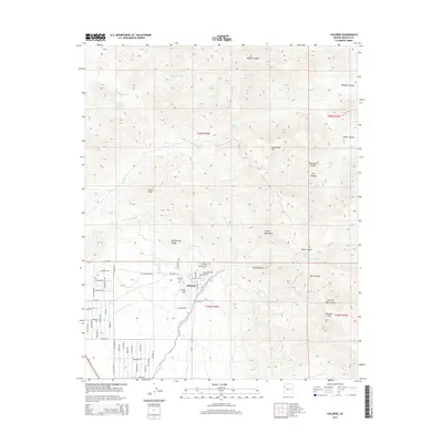
2014 Map of Chloride
USGS Topo · Published 2014About this map
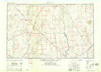
Chloride sits at the foot of the Cerbat Mountains, serving as a focal point for this high-desert landscape in the Sacramento Valley. The town's grid is dense with specific street names such as Pay Roll Ave, Bullion Ave, and Tennessee Ave, reflecting the region's deep mining heritage. Just west of the town center, Silver Hill and the Chloride Cem offer touchpoints for local genealogy and history. The surrounding terrain is defined by dramatic elevation changes, from the alluvial plains of the Mojave Desert to the high summits of Cherum Peak and Packsaddle Mtn. Seasonal water sources, including Putman Spring, Snicker Spring, and Lucky Boy Spring, dot the canyons and washes, providing vital landmarks in an arid environment. A complex network of drainages like Tennessee Wash and Vock Wash carve through the mountains, illustrating the natural erosion patterns of the northern Arizona desert.
Find a feature on this map
47 named features on this map. Tap any name to fly to it.
Don’t see what you’re looking for? This feature index may not catch every label — zoom into the map to look around manually.
Map Details
Editions of this 2014 Chloride Map
This is the sole edition of this map. No revisions or reprints were ever made.
Other maps of this area
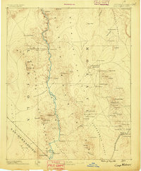
1886 · Camp Mohave
USGS Topo · 1:250,000
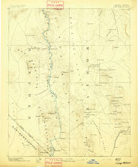
1892 · Camp Mohave
USGS Topo · 1:250,000
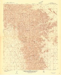
1939 · Chloride
USGS Topo · 1:48,000
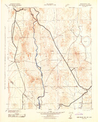
1942 · Camp Mohave
USGS Topo · 1:250,000
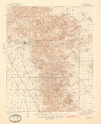
1944 · Chloride
USGS Topo · 1:62,500

1947 · Kingman
USGS Topo · 1:250,000

1948 · Kingman
USGS Topo · 1:250,000
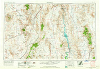
1954 · Kingman
USGS Topo · 1:250,000
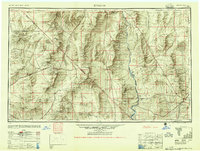
1955 · Kingman
USGS Topo · 1:250,000
1958 · Kingman
USGS Topo · 1:250,000