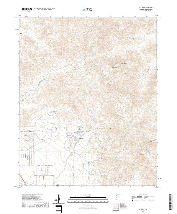
2021 Map of Chloride
USGS Topo · Published 2021About this map
Chloride sits at the foot of the Cerbat Mountains, where the high desert terrain of the Mojave Desert meets the alluvial fans of the Sacramento Valley. This 2021 survey illustrates the modern layout of this historic mining town, centered around Silver Hill and the grid of residential streets like Tennessee Ave and W Silverhill Rd. The rugged eastern landscape is defined by steep canyons such as Vock Canyon and Cedar Canyon, rising toward the heights of Cherum Peak and Packsaddle Mtn. Water sources, critical in this arid environment, are marked throughout the peaks, including Smoker Spring, Fall Spring, and Putman Spring. Local history is anchored by the Chloride Cem northwest of the town center. To the west, the landscape flattens into a series of broad desert washes, notably Sacramento Wash and Big Wash, illustrating the drainage patterns that have shaped the region's topography.
Find a feature on this map
65 named features on this map. Tap any name to fly to it.
Don’t see what you’re looking for? This feature index may not catch every label — zoom into the map to look around manually.
Map Details
Editions of this 2021 Chloride Map
This is the sole edition of this map. No revisions or reprints were ever made.
Other maps of this area

1886 · Camp Mohave
USGS Topo · 1:250,000

1892 · Camp Mohave
USGS Topo · 1:250,000

1939 · Chloride
USGS Topo · 1:48,000

1942 · Camp Mohave
USGS Topo · 1:250,000

1944 · Chloride
USGS Topo · 1:62,500

1947 · Kingman
USGS Topo · 1:250,000

1948 · Kingman
USGS Topo · 1:250,000

1954 · Kingman
USGS Topo · 1:250,000

1955 · Kingman
USGS Topo · 1:250,000

1958 · Kingman
USGS Topo · 1:250,000