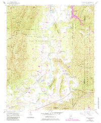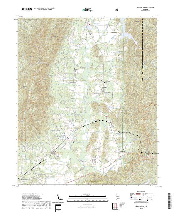
2024 Map of Choccolocco
USGS Topo · Published 2024About this map
Mountain Longleaf National Wildlife Refuge dominates the northwestern portion of this quadrangle, preserving the steep terrain of Big Oak Mtn and Frederick Hill. The landscape is defined by the ridge-and-valley structure of the Appalachian foothills, where historical settlements like Choccolocco and Iron City follow the corridor between Choccolocco Mountain and Muscadine Mtn. The Choccolocco Creek basin serves as the primary drainage, fed by numerous named springs such as Chosea Springs and East Cottaquilla Springs.
Find a feature on this map
129 named features on this map. Tap any name to fly to it.
Don’t see what you’re looking for? This feature index may not catch every label — zoom into the map to look around manually.
Map Details
Editions of this 2024 Choccolocco Map
This is the sole edition of this map. No revisions or reprints were ever made.
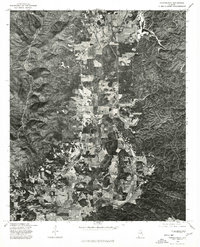
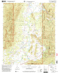
Historical Maps of White Through Time
4 maps found