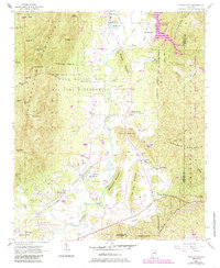
1954 Map of Choccolocco
USGS Topo · Published 1985About this map
Choccolocco Mountain dominates the western half of this landscape, its peaks such as Moorman Hill and Morton Hill rising above the Fort Mc Clellan Military Reservation. The eastern valley is defined by the winding course of Choccolocco Creek and the Southern railroad line, which connected early 20th-century settlements like Iron City and DeArmanville. Evidence of the area's rural religious and social fabric is clear through numerous landmarks, including Pleasant Ridge Ch, Antioch Ch, and the Hanna Cem near Joseph Springs.
Find a feature on this map
61 named features on this map. Tap any name to fly to it.
Don’t see what you’re looking for? This feature index may not catch every label — zoom into the map to look around manually.
Map Details
Editions of this 1954 Choccolocco Map
5 editions found
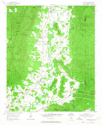
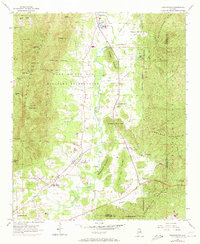
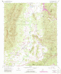
Other maps of this area

1900 · Anniston
USGS Topo · 1:125,000

1947 · Oxford
USGS Topo · 1:24,000

1947 · Anniston
USGS Topo · 1:24,000

1947 · Jacksonville
USGS Topo · 1:24,000

1947 · Jacksonville
USGS Topo · 1:62,500

1950 · Anniston
USGS Topo · 1:62,500

1953 · Atlanta
USGS Topo · 1:250,000

1954 · Choccolocco
USGS Topo · 1:24,000

1956 · Oxford
USGS Topo · 1:24,000

1956 · Anniston
USGS Topo · 1:24,000