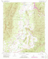
1954 Map of Choccolocco
USGS Topo · Published 1984About this map
Fort McClellan Military Reservation dominates the central landscape of this Alabama survey, showcasing the extensive military presence in the hills between Choccolocco and White Plains. The rugged ridgelines of Choccolocco Mountain and Brymer Mountain border a valley carved by Choccolocco Creek, where early industry and settlement gathered near Whitesides Mill and Iron City. Local life is recorded through family and community landmarks like Hudson Cem, Hanna Cem, and the Antioch Ch, alongside the Southern Railway corridor which served the small stations and rural outposts. The map reveals the transition of land use from the intense activity of the Machine Gun Range in the north to the conservation efforts of the Choccolocco Wildlife Management Area in the east.
Find a feature on this map
62 named features on this map. Tap any name to fly to it.
Don’t see what you’re looking for? This feature index may not catch every label — zoom into the map to look around manually.
Map Details
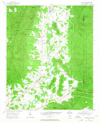
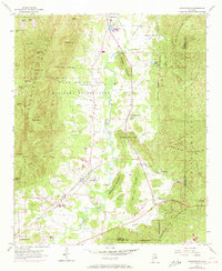
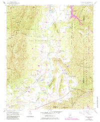
Editions of this 1954 Choccolocco Map
5 editions found
Other maps of this area

1900 · Anniston
USGS Topo · 1:125,000

1947 · Oxford
USGS Topo · 1:24,000

1947 · Anniston
USGS Topo · 1:24,000

1947 · Jacksonville
USGS Topo · 1:24,000

1947 · Jacksonville
USGS Topo · 1:62,500

1950 · Anniston
USGS Topo · 1:62,500

1953 · Atlanta
USGS Topo · 1:250,000

1954 · Choccolocco
USGS Topo · 1:24,000

1956 · Oxford
USGS Topo · 1:24,000

1956 · Anniston
USGS Topo · 1:24,000