
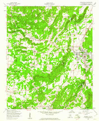
1954 Map of Choccolocco
USGS Topo · Published 1955About this map
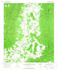
The Fort McClellan Military Reservation dominates the northwestern portion of this mid-century landscape, its boundary cutting across complex terrain near Foster Mountain and Frederick Hill. To the east, the Talladega National Forest creates a contrast of protected woodland, while the central valley serves as a corridor for the Southern railroad and the winding Choccolocco Creek. Small agricultural and rural settlements like Choccolocco, White Plains, and DeArmanville are scattered along the valley floor, linked by local telephone lines such as the Rymer Telephone Line. Researchers will find numerous family-named landmarks and local burial sites, including Hanna Cem and Hudson Cem, alongside remnants of local industry like the Whitesides Mill and scattered Gravel Pit operations. The presence of Iron City and the New Prospect Cem near the rail line reflects the region’s development as a rural transit hub before later suburbanization.
Find a feature on this map
56 named features on this map. Tap any name to fly to it.
Don’t see what you’re looking for? This feature index may not catch every label — zoom into the map to look around manually.
Map Details
Editions of this 1954 Choccolocco Map
5 editions found
Other maps of this area

1900 · Anniston
USGS Topo · 1:125,000

1947 · Oxford
USGS Topo · 1:24,000

1947 · Anniston
USGS Topo · 1:24,000

1947 · Jacksonville
USGS Topo · 1:24,000

1947 · Jacksonville
USGS Topo · 1:62,500

1950 · Anniston
USGS Topo · 1:62,500

1953 · Atlanta
USGS Topo · 1:250,000

1956 · Oxford
USGS Topo · 1:24,000

1956 · Anniston
USGS Topo · 1:24,000
1956 · Jacksonville
USGS Topo · 1:24,000