Loading...
Loading map...2024 Map of Chrisman
USGS Topo · Published 2024About this map
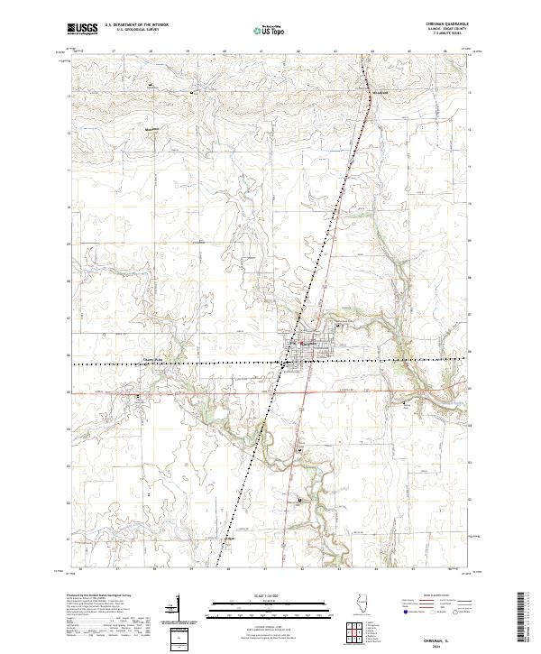
Chrisman serves as the central hub of this Edgar County landscape, where a grid of residential streets like E Madison Ave and E Lincoln Ave meets the surrounding agricultural expanse. The area's long-standing community roots are evidenced by a high density of rural burial grounds, including Woodland Cem and McKee Cem, which document the generations who settled this prairie land.
Find a feature on this map
38 named features on this map. Tap any name to fly to it.
Don’t see what you’re looking for? This feature index may not catch every label — zoom into the map to look around manually.
Map Details
Date Portrayed2024
Date Published2024
PublisherU.S. Geological Survey
Map TypeTopographic
Scale1:24000
Physical Dimensions24 x 29 inches
Editions of this 2024 Chrisman Map
This is the sole edition of this map. No revisions or reprints were ever made.
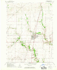
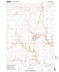
Historical Maps of Mortimer Through Time
Featured Locations
Source Details
SourceU.S. Geological Survey
CopyrightPublic Domain