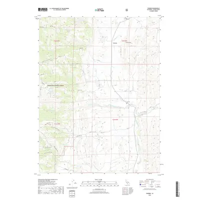
2018 Map of Chrome
USGS Topo · Published 2018About this map
Mendocino National Forest dominates the western landscape of this Glenn County region, where the rugged slopes of Red Mountain and Waldo Ridge transition into the valley floor. The small settlement of Chrome is situated near the northern edge of the map, historically linked to the mineral deposits of the surrounding foothills. Water management is a visible priority in this arid landscape, evidenced by the Dry Lake Reservoir and East Reservoir positioned in the higher elevations to the west.
Find a feature on this map
36 named features on this map. Tap any name to fly to it.
Don’t see what you’re looking for? This feature index may not catch every label — zoom into the map to look around manually.
Map Details
Editions of this 2018 Chrome Map
This is the sole edition of this map. No revisions or reprints were ever made.
Other maps of this area

1919 · Fruto
USGS Topo · 1:62,500

1919 · Elk Creek
USGS Topo · 1:62,500

1944 · Fruto
USGS Topo · 1:62,500

1944 · Flournoy
USGS Topo · 1:62,500

1948 · Elk Creek
USGS Topo · 1:62,500

1952 · Paskenta
USGS Topo · 1:62,500

1957 · Elk Creek
USGS Topo · 1:62,500

1957 · Ukiah
USGS Topo · 1:250,000
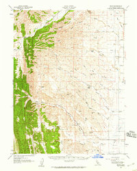
1958 · Fruto
USGS Topo · 1:62,500
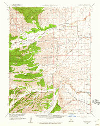
1958 · Flournoy
USGS Topo · 1:62,500