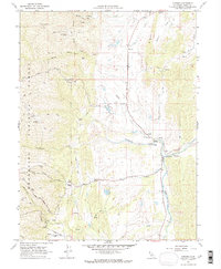
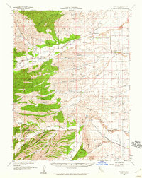
1968 Map of Chrome
USGS Topo · Published 1969About this map
The settlement of Chrome and the surrounding ranchlands of Glenn County are documented here during the late 1960s. This landscape is defined by the convergence of Grindstone Creek and Stony Creek, where agricultural life and early industrial efforts are visible through features like the Gillaspy Ranch and Roweroft Ranch. The map reveals a history of resource extraction in the hills to the north, specifically at the Black Diamond Mine and Gray Eagle Mine, while the Grindstone Rancheria and Grindstone Cem indicate the cultural and communal centers of the area.
Find a feature on this map
38 named features on this map. Tap any name to fly to it.
Don’t see what you’re looking for? This feature index may not catch every label — zoom into the map to look around manually.
Map Details
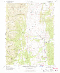
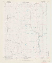
Editions of this 1968 Chrome Map
3 editions found
Other maps of this area

1919 · Fruto
USGS Topo · 1:62,500

1919 · Elk Creek
USGS Topo · 1:62,500

1944 · Fruto
USGS Topo · 1:62,500

1944 · Flournoy
USGS Topo · 1:62,500

1948 · Elk Creek
USGS Topo · 1:62,500

1952 · Paskenta
USGS Topo · 1:62,500

1957 · Elk Creek
USGS Topo · 1:62,500

1957 · Ukiah
USGS Topo · 1:250,000
1958 · Fruto
USGS Topo · 1:62,500
1958 · Flournoy
USGS Topo · 1:62,500