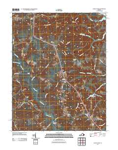
2011 Map of Church View
USGS Topo · Published 2011About this map
The Rappahannock River defines the northern edge of this coastal Virginia landscape, where the interconnected waterways of the Middle Peninsula dictate the patterns of settlement. The community of Church View sits central to a network of rural hamlets including Jamaica, Samos, and Farley Park Corner. This area is characterized by its extensive swamp systems, most notably the winding Dragon Swamp and Masons Mill Swamp, which influenced early road placement and property boundaries. Genealogists will find a concentration of local history preserved in the numerous burial grounds scattered across the quadrangle, such as Glebe Landing Cemetery, Saint Pauls Cemetery, and Metropolitan Cemetery. Transportation across the wetland-heavy terrain is marked by essential crossings like Wares Bridge and New Dragon Bridge, which connect the small farming and residential pockets of Middlesex and King and Queen counties.
Find a feature on this map
52 named features on this map. Tap any name to fly to it.
Don’t see what you’re looking for? This feature index may not catch every label — zoom into the map to look around manually.
Map Details
Editions of this 2011 Church View Map
This is the sole edition of this map. No revisions or reprints were ever made.
Other maps of this area

1917 · Urbanna
USGS Topo · 1:62,500

1917 · Morattico
USGS Topo · 1:62,500

1918 · Tappahannock
USGS Topo · 1:62,500

1918 · Morattico
USGS Topo · 1:62,500

1919 · New Kent
USGS Topo · 1:62,500

1919 · Tappahannock
USGS Topo · 1:62,500

1926 · Morattico
USGS Topo · 1:62,500

1943 · Richmond
USGS Topo · 1:250,000

1944 · Dunnsville
USGS Topo · 1:31,680

1944 · Morattico
USGS Topo · 1:31,680