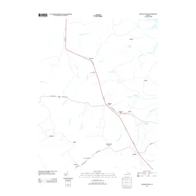
2013 Map of Church View
USGS Topo · Published 2013About this map
Tidewater Trl forms the primary north-south spine of this Middlesex County landscape, connecting a series of small rural communities and crossroad settlements in the early 21st century. The map reveals a region defined by its complex network of swampy lowlands and creeks, including Dragon Swamp and Masons Mill Swamp, which dominate the hydrology of the area. These drainages create natural boundaries between upland settlements like Jamaica, Church View, and Farley Park Corner.
Find a feature on this map
38 named features on this map. Tap any name to fly to it.
Don’t see what you’re looking for? This feature index may not catch every label — zoom into the map to look around manually.
Map Details
Editions of this 2013 Church View Map
This is the sole edition of this map. No revisions or reprints were ever made.
Other maps of this area

1917 · Urbanna
USGS Topo · 1:62,500

1917 · Morattico
USGS Topo · 1:62,500

1918 · Tappahannock
USGS Topo · 1:62,500

1918 · Morattico
USGS Topo · 1:62,500

1919 · New Kent
USGS Topo · 1:62,500

1919 · Tappahannock
USGS Topo · 1:62,500

1926 · Morattico
USGS Topo · 1:62,500

1943 · Richmond
USGS Topo · 1:250,000

1944 · Dunnsville
USGS Topo · 1:31,680

1944 · Morattico
USGS Topo · 1:31,680