Loading...
Loading map...2022 Map of Church View
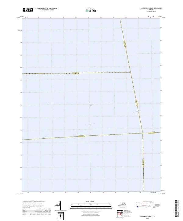
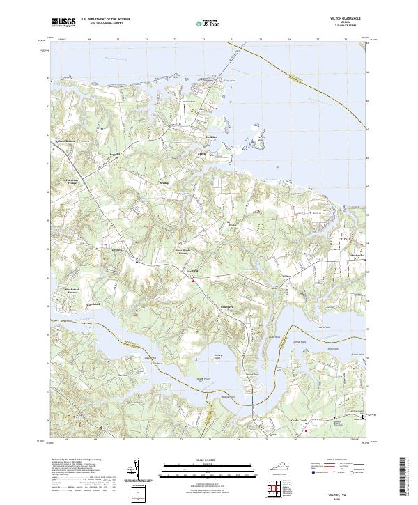
USGS Topo · Published 2022About this map
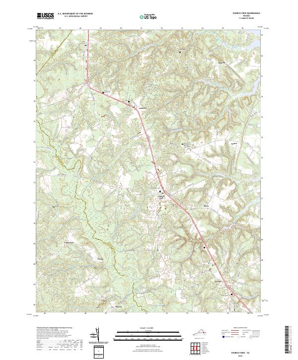
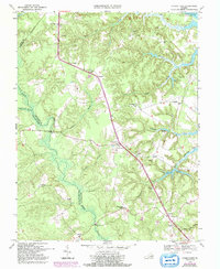
Dragon Swamp and a network of tidal wetlands define this portion of the Middle Peninsula in the early 21st century. The landscape is characterized by its numerous swamp systems, including Briery Swamp, Nickleberry Swamp, and Wyatt Swamp, which feed into local creeks like Parrotts Cr and Lagrange Cr. These natural boundaries separate long-standing rural communities such as Jamaica, Church View, and Warner, which are linked by the primary corridor of Tidewater Trl.
Find a feature on this map
86 named features on this map. Tap any name to fly to it.
Don’t see what you’re looking for? This feature index may not catch every label — zoom into the map to look around manually.
Map Details
Date Portrayed2022
Date Published2022
PublisherU.S. Geological Survey
Map TypeTopographic
Scale1:24000
Physical Dimensions24 x 29 inches
Editions of this 2022 Church View Map
This is the sole edition of this map. No revisions or reprints were ever made.
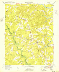
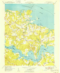
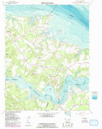
Historical Maps of Mount Zion Through Time
8 maps found
Featured Locations
Source Details
SourceU.S. Geological Survey
CopyrightPublic Domain