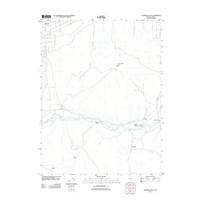
2011 Map of Churchill Butte
USGS Topo · Published 2011About this map
The Carson River carves a green corridor through the arid basin and range landscape of western Nevada, anchoring a historical corridor of settlement and travel. This 2011 survey details the area surrounding Churchill Butte and Churchill Peak, where the legacy of early western migration is preserved within the Fort Churchill State Monument. Along the river’s course, historical sites such as Weeks Toll Ranch and the Churchill Cemetery mark the footprint of early pioneers and ranching operations.
Find a feature on this map
32 named features on this map. Tap any name to fly to it.
Don’t see what you’re looking for? This feature index may not catch every label — zoom into the map to look around manually.
Map Details
Editions of this 2011 Churchill Butte Map
This is the sole edition of this map. No revisions or reprints were ever made.
Other maps of this area

1891 · Wabuska
USGS Topo · 1:125,000

1894 · Wabuska
USGS Topo · 1:125,000

1957 · Como
USGS Topo · 1:62,500

1957 · Wabuska
USGS Topo · 1:62,500

1957 · Churchill Butte
USGS Topo · 1:62,500

1957 · Silver Springs
USGS Topo · 1:62,500

1957 · Reno
USGS Topo · 1:250,000

1959 · Reno
USGS Topo · 1:250,000

1960 · Reno
USGS Topo · 1:250,000

1979 · Carson City
USGS Topo · 1:100,000