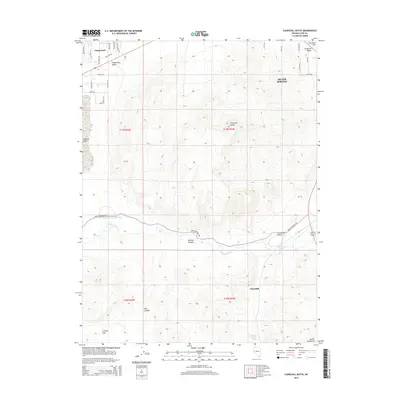
2015 Map of Churchill Butte
USGS Topo · Published 2015About this map
Stagecoach and the adjacent Stagecoach Valley define the northwestern corner of this Lyon County landscape, where residential street grids like Santa Fe Trl and Cheyenne Trl meet the open high desert. The Carson River winds through the central portion of the quadrangle, paralleled by the historic route of Fort Churchill Rd. This riparian corridor is marked by significant local landmarks, including the Churchill Cemetery and the engineering of the Houghman and Howard Ditch. To the south, the terrain rises toward the Desert Mountains, while the prominent volcanic landform of Churchill Butte stands as a sentinel over the surrounding flats. Traces of historical transit and water access are evident at Churchill Station Spring, reflecting the long-standing importance of this river valley for settlement and travel in the western Great Basin.
Find a feature on this map
40 named features on this map. Tap any name to fly to it.
Don’t see what you’re looking for? This feature index may not catch every label — zoom into the map to look around manually.
Map Details
Editions of this 2015 Churchill Butte Map
This is the sole edition of this map. No revisions or reprints were ever made.
Other maps of this area

1891 · Wabuska
USGS Topo · 1:125,000

1894 · Wabuska
USGS Topo · 1:125,000

1957 · Como
USGS Topo · 1:62,500

1957 · Wabuska
USGS Topo · 1:62,500

1957 · Churchill Butte
USGS Topo · 1:62,500

1957 · Silver Springs
USGS Topo · 1:62,500

1957 · Reno
USGS Topo · 1:250,000

1959 · Reno
USGS Topo · 1:250,000

1960 · Reno
USGS Topo · 1:250,000

1979 · Carson City
USGS Topo · 1:100,000