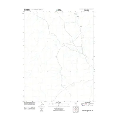
2011 Map of Churchill Canyon Well
USGS Topo · Published 2011About this map
Churchill Canyon Spring and Churchill Spring serve as critical water points in this arid stretch of Lyon County. The landscape is defined by its drainage patterns and named corridors, including the prominent Churchill Canyon and Mill Canyon to the north. These topographical features suggest a history of seasonal water management and livestock grazing, typical of the high desert environment of Nevada. A significant geographic pinch point is visible at Churchill Narrows, where the terrain constricts between the surrounding uplands. Connectivity through this area is maintained by the corridor of Wabuska Rd, which skirts the southern portion of the quadrangle near the Churchill Canyon Well. The map also indicates a specific Washout area, highlighting the dynamic nature of the desert floor during rare but impactful flash flood events.
Find a feature on this map
7 named features on this map. Tap any name to fly to it.
Don’t see what you’re looking for? This feature index may not catch every label — zoom into the map to look around manually.
Map Details
Editions of this 2011 Churchill Canyon Well Map
This is the sole edition of this map. No revisions or reprints were ever made.
Other maps of this area

1891 · Wabuska
USGS Topo · 1:125,000

1894 · Wabuska
USGS Topo · 1:125,000

1957 · Como
USGS Topo · 1:62,500

1957 · Wabuska
USGS Topo · 1:62,500

1957 · Churchill Butte
USGS Topo · 1:62,500

1957 · Silver Springs
USGS Topo · 1:62,500

1957 · Reno
USGS Topo · 1:250,000

1959 · Reno
USGS Topo · 1:250,000

1960 · Reno
USGS Topo · 1:250,000

1979 · Carson City
USGS Topo · 1:100,000