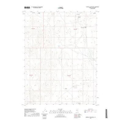
2018 Map of Churchill Canyon Well
USGS Topo · Published 2018About this map
Clifton Flat and the eastern reaches of the Desert Mountains dominate this high-desert landscape in Lyon County. The area is defined by its vital water sources, including the centrally located Churchill Spring, Churchill Canyon Spring, and the namesake Churchill Canyon Well further south. These points represent critical infrastructure for ranching and travel through the arid basin-and-range topography. The terrain transitions from the open expanse of Adrian Valley and the narrows of Churchill Canyon into more complex relief where Mill Canyon and Mineral Canyon cut through the north. While predominantly open land, modern access is marked by Julian Dr and the southern point known as Blackrock, providing a clear view of the region's 21st-century geographic character.
Find a feature on this map
16 named features on this map. Tap any name to fly to it.
Don’t see what you’re looking for? This feature index may not catch every label — zoom into the map to look around manually.
Map Details
Editions of this 2018 Churchill Canyon Well Map
This is the sole edition of this map. No revisions or reprints were ever made.
Other maps of this area

1891 · Wabuska
USGS Topo · 1:125,000

1894 · Wabuska
USGS Topo · 1:125,000

1957 · Como
USGS Topo · 1:62,500

1957 · Wabuska
USGS Topo · 1:62,500

1957 · Churchill Butte
USGS Topo · 1:62,500

1957 · Silver Springs
USGS Topo · 1:62,500

1957 · Reno
USGS Topo · 1:250,000

1959 · Reno
USGS Topo · 1:250,000

1960 · Reno
USGS Topo · 1:250,000

1979 · Carson City
USGS Topo · 1:100,000