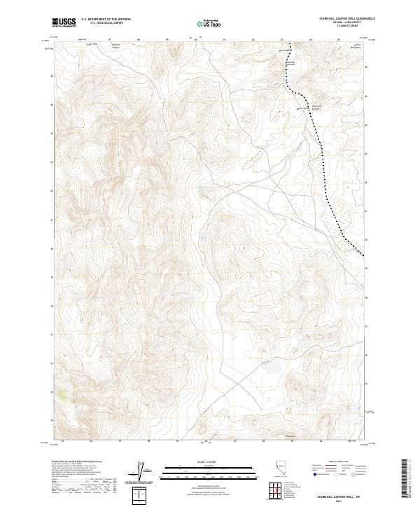
2021 Map of Churchill Canyon Well
USGS Topo · Published 2021About this map
The Desert Mountains dominate this high-desert landscape in Lyon County, where the topography is defined by the deep incisions of Mill Canyon and Mineral Canyon. The arid environment is punctuated by vital water sources such as the Churchill Canyon Spring, which historically supported movement through these basins. In the northern reaches, Clifton Flat provides a rare stretch of level ground above the narrows. The map captures a transition from the structured drainage of Churchill Canyon into the broader expanse of Adrian Valley. To the south, the presence of Blackrock stands as a distinct landmark. This 2021 update from the U.S. Geological Survey documents the modern road network, including Julian Dr, while preserving the traditional place names of the Great Basin.
Find a feature on this map
14 named features on this map. Tap any name to fly to it.
Don’t see what you’re looking for? This feature index may not catch every label — zoom into the map to look around manually.
Map Details
Editions of this 2021 Churchill Canyon Well Map
This is the sole edition of this map. No revisions or reprints were ever made.
Other maps of this area

1891 · Wabuska
USGS Topo · 1:125,000

1894 · Wabuska
USGS Topo · 1:125,000

1957 · Como
USGS Topo · 1:62,500

1957 · Wabuska
USGS Topo · 1:62,500

1957 · Churchill Butte
USGS Topo · 1:62,500

1957 · Silver Springs
USGS Topo · 1:62,500

1957 · Reno
USGS Topo · 1:250,000

1959 · Reno
USGS Topo · 1:250,000

1960 · Reno
USGS Topo · 1:250,000

1979 · Carson City
USGS Topo · 1:100,000