
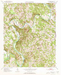
1950 Map of Churchland
USGS Topo · Published 1973About this map
The Yadkin River defines the landscape of this 1950 survey, winding through the borders of Davidson, Davie, and Rowan counties. The topography reveals a rural network of small farming communities and educational hubs centered around the settlement of Churchland and the crossroads of Petersville. These small hamlets are anchored by local institutions like St Johns Sch and Union Chapel Sch, reflecting the importance of schoolhouse geography in mid-century North Carolina. Along the eastern reaches, the map documents the community of Tyro and numerous family-named water features like Hartley Creek and Sandy Creek. Cultural landmarks such as Crossroads Ch and Yadkin Star Ch appear alongside a Gaging Sta on the river, showing the intersection of traditional community life and early state-managed infrastructure in the Piedmont region.
Find a feature on this map
18 named features on this map. Tap any name to fly to it.
Don’t see what you’re looking for? This feature index may not catch every label — zoom into the map to look around manually.
Map Details
Editions of this 1950 Churchland Map
3 editions found
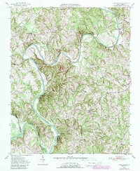
Other maps of this area

1893 · Statesville
USGS Topo · 1:125,000

1950 · Lexington West
USGS Topo · 1:24,000

1951 · Churchland
USGS Topo · 1:24,000

1951 · Lexington West
USGS Topo · 1:24,000

1953 · Charlotte
USGS Topo · 1:250,000

1954 · Charlotte
USGS Topo · 1:250,000

1960 · Charlotte
USGS Topo · 1:250,000

1962 · Charlotte
USGS Topo · 1:250,000

1962 · Southmont
USGS Topo · 1:24,000
1962 · Salisbury
USGS Topo · 1:24,000