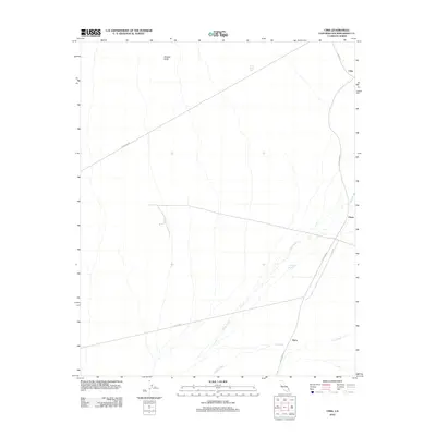
2012 Map of Cima
USGS Topo · Published 2012About this map
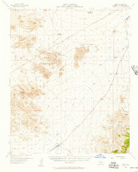
Cima serves as a central point of activity in this high desert landscape, where the Up Rr tracks slice through the arid terrain of San Bernardino County. The rail line is a primary artery for the region, passing through the settlements of Chase and Elora. These outposts are situated along the vast drainage systems of Kelso Wash and Cedar Wash, which define the local topography. To the northwest, Wildcat Butte provides a significant landmark overlooking the sparse network of utility corridors and access roads like Powerline RD and Utility RD. Water management is critical in this environment, evidenced by isolated features such as White Rock Tank and Eightmile Tank. The map illustrates a modern era of desert transit, where traditional rail routes parallel newer thoroughfares like Kelso Cima Rd, highlighting the enduring importance of this corridor for movement through the California desert.
Find a feature on this map
13 named features on this map. Tap any name to fly to it.
Don’t see what you’re looking for? This feature index may not catch every label — zoom into the map to look around manually.
Map Details
Editions of this 2012 Cima Map
This is the sole edition of this map. No revisions or reprints were ever made.
Other maps of this area
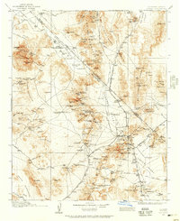
1910 · Ivanpah
USGS Topo · 1:250,000
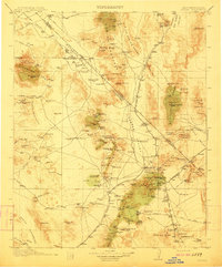
1912 · Ivanpah
USGS Topo · 1:250,000
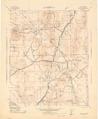
1942 · Ivanpah
USGS Topo · 1:250,000

1947 · Kingman
USGS Topo · 1:250,000

1948 · Kingman
USGS Topo · 1:250,000
1954 · Kingman
USGS Topo · 1:250,000
1955 · Kingman
USGS Topo · 1:250,000
1955 · Mescal Range
USGS Topo · 1:62,500
1955 · Mid Hills
USGS Topo · 1:62,500
1955 · Kelso
USGS Topo · 1:62,500