
1955 Map of Mid Hills
USGS Topo · Published 1957About this map
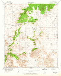
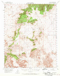
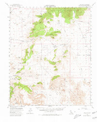
The high desert basins and steep ranges of the Mojave are documented in this mid-1950s survey, showing a landscape defined by remote mines and critical water sources. The Union Pacific line cuts through the northwest corner at Cima, while the historic Old Government Road traverses the center, connecting notable stopovers like Government Holes and Rock Spring. This route reflects the mid-century reliance on established trails and dirt tracks to navigate the high-elevation valleys between the New York Mountains and the Providence Mountains.
Find a feature on this map
38 named features on this map. Tap any name to fly to it.
Don’t see what you’re looking for? This feature index may not catch every label — zoom into the map to look around manually.
Map Details
Editions of this 1955 Mid Hills Map
4 editions found
Other maps of this area

1910 · Ivanpah
USGS Topo · 1:250,000

1912 · Ivanpah
USGS Topo · 1:250,000

1942 · Ivanpah
USGS Topo · 1:250,000

1942 · Amboy
USGS Topo · 1:250,000

1943 · Amboy
USGS Topo · 1:250,000

1943 · Fenner
USGS Topo · 1:62,500

1947 · Kingman
USGS Topo · 1:250,000

1948 · Kingman
USGS Topo · 1:250,000

1954 · Needles
USGS Topo · 1:250,000

1954 · Kingman
USGS Topo · 1:250,000