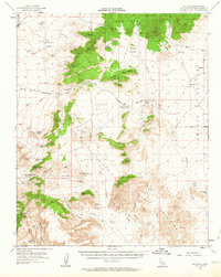
1955 Map of Mid Hills
USGS Topo · Published 1963About this map
The high Mojave Desert landscape of the New York Mountains and Woods Mountains dominates this 1950s survey. This era of land use is defined by a reliance on the springs and wells scattered throughout the basins, including Government Holes and Rock Spring, which served as critical stops along the historic Old Government Road. The region's mining legacy is visible in the presence of the Death Valley Mine near the Union Pacific tracks at Cima, as well as the Barnett Mine and Gold Valley Mine further south.
Find a feature on this map
58 named features on this map. Tap any name to fly to it.
Don’t see what you’re looking for? This feature index may not catch every label — zoom into the map to look around manually.
Map Details
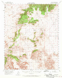
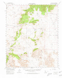
Editions of this 1955 Mid Hills Map
4 editions found

Other maps of this area

1910 · Ivanpah
USGS Topo · 1:250,000

1912 · Ivanpah
USGS Topo · 1:250,000

1942 · Ivanpah
USGS Topo · 1:250,000

1942 · Amboy
USGS Topo · 1:250,000

1943 · Amboy
USGS Topo · 1:250,000

1943 · Fenner
USGS Topo · 1:62,500

1947 · Kingman
USGS Topo · 1:250,000

1948 · Kingman
USGS Topo · 1:250,000

1954 · Needles
USGS Topo · 1:250,000

1954 · Kingman
USGS Topo · 1:250,000