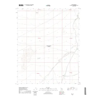
2018 Map of Cima
USGS Topo · Published 2018About this map
Mojave National Preserve encompasses the vast desert landscape of this San Bernardino County survey, illustrating the sparse settlement patterns and drainage systems of the high desert. The small community of Cima sits in the northeast corner at the head of the gradual descent into the basin, while the sidings or former stops at Chase and Elora follow the established transportation corridor along the eastern edge. This terrain is defined by its arid hydrology, dominated by the sweeping paths of Kelso Wash and Cedar Wash as they channel seasonal runoff through the Mojave Desert. Local landmarks like Wildcat Butte provide vertical relief against the wide alluvial plains, while scattered features such as Eightmile Tank reflect the critical importance of water management in this environment. The map captures a moment of modern land management where historic railroad-influenced settlements intersect with federal conservation boundaries.
Find a feature on this map
15 named features on this map. Tap any name to fly to it.
Don’t see what you’re looking for? This feature index may not catch every label — zoom into the map to look around manually.
Map Details
Editions of this 2018 Cima Map
This is the sole edition of this map. No revisions or reprints were ever made.
Other maps of this area

1910 · Ivanpah
USGS Topo · 1:250,000

1912 · Ivanpah
USGS Topo · 1:250,000

1942 · Ivanpah
USGS Topo · 1:250,000

1947 · Kingman
USGS Topo · 1:250,000

1948 · Kingman
USGS Topo · 1:250,000

1954 · Kingman
USGS Topo · 1:250,000

1955 · Kingman
USGS Topo · 1:250,000

1955 · Mescal Range
USGS Topo · 1:62,500

1955 · Mid Hills
USGS Topo · 1:62,500

1955 · Kelso
USGS Topo · 1:62,500