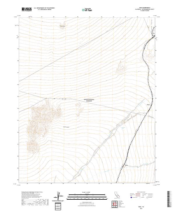
2021 Map of Cima
USGS Topo · Published 2021About this map
Cima sits at the northern gateway of this high desert expanse within the Mojave National Preserve, where the Ivanpah Valley meets the rising terrain of the mid-Mojave. The settlement pattern follows the established corridors of the Kelso-Cima Road, connecting small locales like Chase and Elora across a landscape defined by seasonal drainages and essential water stops. Arid hydrology is central to this geography, as seen in the extensive courses of Kelso Wash and Cedar Wash, which collect runoff from the surrounding peaks.
Find a feature on this map
19 named features on this map. Tap any name to fly to it.
Don’t see what you’re looking for? This feature index may not catch every label — zoom into the map to look around manually.
Map Details
Editions of this 2021 Cima Map
This is the sole edition of this map. No revisions or reprints were ever made.
Other maps of this area

1910 · Ivanpah
USGS Topo · 1:250,000

1912 · Ivanpah
USGS Topo · 1:250,000

1942 · Ivanpah
USGS Topo · 1:250,000

1947 · Kingman
USGS Topo · 1:250,000

1948 · Kingman
USGS Topo · 1:250,000

1954 · Kingman
USGS Topo · 1:250,000

1955 · Kingman
USGS Topo · 1:250,000

1955 · Mescal Range
USGS Topo · 1:62,500

1955 · Mid Hills
USGS Topo · 1:62,500

1955 · Kelso
USGS Topo · 1:62,500