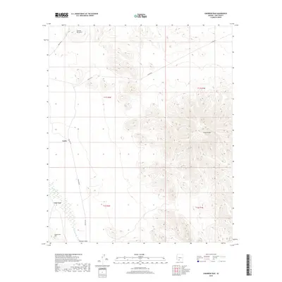
2018 Map of Cimarron Peak
USGS Topo · Published 2018About this map
Cimarron Peak rises as the central landmark in this portion of the Tohono O'odham Nation, surrounded by the high ridges of the Sauceda Mountains to the northwest. The arid landscape is defined by the ephemeral Hickiwan Wash and the broad Hickiwan Valley, where the small settlements of Emika and Tatai Toak are situated.
Find a feature on this map
14 named features on this map. Tap any name to fly to it.
Don’t see what you’re looking for? This feature index may not catch every label — zoom into the map to look around manually.
Map Details
Editions of this 2018 Cimarron Peak Map
This is the sole edition of this map. No revisions or reprints were ever made.
Other maps of this area

1953 · Ajo
USGS Topo · 1:250,000

1957 · Ajo
USGS Topo · 1:250,000

1958 · Ajo
USGS Topo · 1:250,000

1958 · Kaka
USGS Topo · 1:62,500

1958 · Hat Mountain
USGS Topo · 1:62,500

1962 · Ajo
USGS Topo · 1:250,000

1963 · Ajo
USGS Topo · 1:250,000

1963 · Sikort Chuapo Mts
USGS Topo · 1:62,500

1963 · Cimarron Peak
USGS Topo · 1:62,500

1967 · Ajo
USGS Topo · 1:250,000