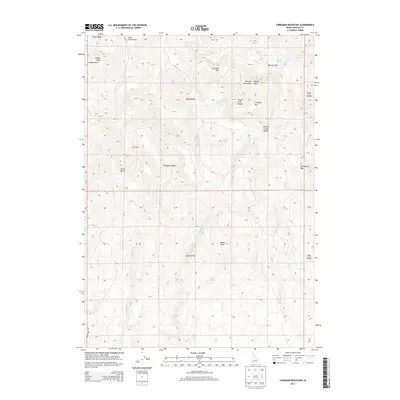
2013 Map of Cinnabar Mountain
USGS Topo · Published 2013About this map
The Silver City Range and the high peaks of the Owyhee Mountains dominate this high-altitude corner of Idaho. Rising to prominent heights, Cinnabar Mtn and Quicksilver Mtn overlook a landscape carved by numerous drainages, including Silver Cord Gulch and Sawpit Gulch. The nomenclature of the terrain, specifically features like China Butte and Turntable Mtn, hints at the region's long history of resource extraction and mountain travel. Remote outposts like Snow Cabin are positioned along the high ridges, while water sources such as Thomas Lakes and Driscoll Spring provide critical points of interest in the arid, steep topography. A sparse road network, including Deer Creek Rd, navigates the complex system of ridges and saddles like Pickett Creek Saddle that separate the various forks of Boulder Cr and Pickett Cr.
Find a feature on this map
38 named features on this map. Tap any name to fly to it.
Don’t see what you’re looking for? This feature index may not catch every label — zoom into the map to look around manually.
Map Details
Editions of this 2013 Cinnabar Mountain Map
This is the sole edition of this map. No revisions or reprints were ever made.
Other maps of this area

1892 · Silver City
USGS Topo · 1:125,000

1894 · Silver City
USGS Topo · 1:125,000

1898 · Silver City
USGS Topo · 1:125,000

1955 · Jordan Valley
USGS Topo · 1:250,000

1955 · Boise
USGS Topo · 1:250,000

1957 · Jordan Valley
USGS Topo · 1:250,000

1958 · Boise
USGS Topo · 1:250,000

1958 · Jordan Valley
USGS Topo · 1:250,000

1962 · Boise
USGS Topo · 1:250,000

1965 · Triangle
USGS Topo · 1:62,500