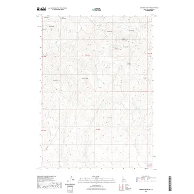
2020 Map of Cinnabar Mountain
USGS Topo · Published 2020About this map
The Owyhee Mountains and Silver City Range dominate this high-altitude landscape in Owyhee County, characterized by a complex network of peaks and drainage gulches. At the heart of the area, Cinnabar Mtn and Hayden Peak stand as prominent landmarks, while the named mining-era features like Quicksilver Mtn and Silver Cord Gulch reflect the region's mineral history. The terrain is deeply incised by watercourses such as Jordan Cr and French Cr, which flow from ridges like Potosi Ridge and Mammoth Ridge. High-country water sources are scarce but significant, including the Thomas Lakes and Driscol Spring located near Burnam Flat. Only one established route, Deer Creek Rd, provides access into this interior section of the mountains, which remains defined by its natural topography rather than modern development.
Find a feature on this map
38 named features on this map. Tap any name to fly to it.
Don’t see what you’re looking for? This feature index may not catch every label — zoom into the map to look around manually.
Map Details
Editions of this 2020 Cinnabar Mountain Map
This is the sole edition of this map. No revisions or reprints were ever made.
Other maps of this area

1892 · Silver City
USGS Topo · 1:125,000

1894 · Silver City
USGS Topo · 1:125,000

1898 · Silver City
USGS Topo · 1:125,000

1955 · Jordan Valley
USGS Topo · 1:250,000

1955 · Boise
USGS Topo · 1:250,000

1957 · Jordan Valley
USGS Topo · 1:250,000

1958 · Boise
USGS Topo · 1:250,000

1958 · Jordan Valley
USGS Topo · 1:250,000

1962 · Boise
USGS Topo · 1:250,000

1965 · Triangle
USGS Topo · 1:62,500